Malls · New York
Hudson Terminal shopping concourse
Hudson Terminal, a 1908 transit-office complex, became the World Trade Center site; its present status and ownership remain unknown today. · summary, model-written
Solid = from the authors' map · outlined = public source · dashed = model-written, not yet reviewed by a person. Tap any value's source label to see where it came from.
Site profile19 elements · what this retrofit is built with · tap a chip for the evidence
On Facebook
This site: …https://www.facebook.com/260738174859922 overture · all sites with this100k+ jobs within 45 min by transit
This site: 6,804,554 epa-walkability · all sites with this15-minute neighbourhood (5+ of 6 daily needs within 800 m)
This site: 6/6 openstreetmap · all sites with this200+ tax-credit housing units within 1 km
This site: 2,725 units in 12 properties hud-lihtc · all sites with this3+ other atlas sites within 10 km
This site: 28 within 10 km computed · all sites with thisBike network nearby
This site: 431 ways openstreetmap · all sites with thisCounty lost 10%+ of retail establishments since 2012
This site: -21% census-cbp · all sites with thisCounty permitting 2,000+ apartment units a year
This site: 4,463 units, New York County census-bps · all sites with thisCounty typical rent $2,000+
This site: $4,779/mo zillow · all sites with thisGrocery within 800 m
This site: 39 stores openstreetmap · all sites with thisHigh inland flooding risk
This site: Relatively High fema-nri · all sites with thisHigh-income tract ($100k+)
This site: $193,984 census-acs · all sites with thisLow social vulnerability tract (SVI ≤ 0.25)
This site: 0.15 cdc-svi · all sites with thisNational Register place within 500 m
This site: New York County Lawyers Association Building; J. P. Morgan & Co. Building nps-nrhp · all sites with thisRenter-majority tract
This site: 84% census-acs · all sites with thisShrinking county
This site: -0.3% census-acs · all sites with thisTract income up 60%+ since 2013
This site: +60% census-acs · all sites with thisTract population up 25%+ since 2013
This site: +42% census-acs · all sites with thisWalkable block group (EPA ≥ 12)
This site: …index 17.3 epa-walkability · all sites with thisNow
| Status | Status not verifiedWikipedia |
|---|
Site context
| FEMA flood zone | X · AREA OF MINIMAL FLOOD HAZARDFEMA NFHL |
|---|---|
| EPA-regulated facilities within 500 m | 468: 101 MURRAY STREET; 120 BROADWAY-SILVERSTEIN PROPERTIES; 126 NASSAU SUBLESSEE LLC; 170 BROADWAY BUILDING THE; 176 BROADWAY BUILDINGEPA FRS |
| Census tract 36061001300 | 5,371 people, 43,853 per sq mi; median household income $193,984; median gross rent $3,501; 84% renters; 9.3% vacant units; 50.0% commute by transitACS 2023 5-year |
| Walkability (EPA, block group) | index 17.3 of 20; 107 intersections per sq mi; nearest transit stop 168 m; land-use mix 0.82; 828,217 jobs within 45 min by car, 6,804,554 by transit; 86% of households without a carEPA Smart Location |
| Within a 10–15 minute walk (800 m) | 6 of 6 daily needs: 39 grocers, 26 schools, 1609 parks or playgrounds, 46 health, 25 civic, 404 food and drink; 431 cycleway segments, 1060 sidewalk-tagged segmentsOpenStreetMap |
| Opportunity Zone | noHUD |
| National Register places within 500 m | 15: New York County Lawyers Association Building; J. P. Morgan & Co. Building; Old New York Evening Post Building; Federal Reserve Bank of New YorkNPS |
| Housing permits, New York County (NY), 2024 | 4,463 units in 5+ unit buildings, 4 in 2–4, 0 single-family; 2023: 3,018 in 5+Census BPS |
| Social vulnerability (CDC SVI 2022, tract) | overall percentile 0.15; socioeconomic 0.13; housing and transport 0.75; 8% below 150% of poverty; 83% of households with no vehicleCDC/ATSDR |
| Other atlas sites nearby | 28 within 10 km, 36 within 25 km: The Mall at the World Trade Center (0.0 km); Flatiron Building (0.5 km); 99 John Street (0.6 km); 21 West Street (0.7 km); 111 Wall St. (0.8 km)computed |
| Overture Maps | place خبير الزراعة (shopping, confidence 0.17, from Overture, meta); building footprint 2,779 m², 47.0 mOverture (CDLA-Permissive 2.0) |
| Website and social | no website listed · social: facebookOverture / Internet Archive |
| Attention: Wikipedia page views | 150,355 since 2015; 13,773 in the last 12 months (+5% vs the prior 12); peak 2021-03 with 8,001Wikimedia |
| Tract change 2013–2023 | population +42% (3,776 → 5,371); median income +60% ($120,861 → $193,984); renters 92% → 84%; median home value +58% ($709,100 → $1,121,800)Census ACS 5-year |
| Natural hazard risk (FEMA National Risk Index, tract) | relatively moderate overall (score 56.5); expected annual loss $1.7M; high: inland flooding; community resilience relatively moderateFEMA NRI |
| Tax-credit housing within 1 km | 12 LIHTC properties, 2,725 units: Tribeca Tower (440 units); Tribeca Park (396 units); Tribeca Pointe (340 units)HUD LIHTC |
| Retail trade in the county, 2012 to 2023 | 9,268 establishments (-21%); 115,257 jobs (-21%)Census CBP |
| Housing market in the county | typical home value $1.2M (+3% 1 yr, -10% 5 yr); typical rent $4,779/mo (+6% 1 yr), 2026-09Zillow Research |
| Traffic on the busiest road within 600 m (2024) | 14,500 vehicles a day on MTA-I478 NB to Greenwhich St; 1,926 trucks; 40 counted segmentsFHWA HPMS |
Summary, model-written
Opened in 1908‑1909 as a rapid‑transit station and office‑tower complex known as Hudson Terminal, the site later was cleared and incorporated into the World Trade Center development. Today the record lists its status as unknown and provides no further use details.
Why. The record indicates the site was later used for the World Trade Center, implying redevelopment as the cause of the original complex’s removal.
Where it stands. The site’s current status is unknown and no owner or controlling entity is identified in the record.
For a planner
- Precedent: large‑scale redevelopment of a transit‑office complex for a major civic project (World Trade Center).
- Policy tools: none documented in the record.
- Open questions: current ownership, zoning designation, and any pending planning actions.
For a developer
- Site size: roughly a two‑block parcel bounded by Greenwich, Cortlandt, Church, and Fulton Streets.
- Control and entitlement: ownership unknown and no entitlement stage indicated; status is listed as unknown.
- Context and market: no flood, transit, or environmental constraints noted; tract data show a median rent of $2,132.
What we do not know yet
- Current status and owner are unknown (record status: unknown, verified: draft).
- Exact parcel boundaries and size are not quantified beyond the two‑block description.
- No information on zoning, land‑use entitlements, or any pending approvals.
- Environmental conditions (floodplain, contamination) are not described in the record.
- Data rely on a single source (sources_count: 1), making the record thin.
Generated by nvidia/nemotron-3-super-120b-a12b on NVIDIA API via Hermes CT from the fields, parcels, deals and context layers on this page, with no outside knowledge. It is regenerated when the record changes and has not been checked by a person. How it is made.
Elsewhere on the web
Search images: Google · Bing · Commons · references: ULI case studies · Google Scholar
Multifamily screen
- median rent $2,132
Inputs: record fields (size, status) and county Census ACS 2018–2023 figures (growth, rent). How the points work. Not a recommendation.
History and original facts
| County | New York County |
|---|---|
| Census division | 2 · Mid-Atlantic |
| Notes | Wikipedia categories: Demolished shopping malls in the United States |
Not yet recorded: acres, GLA, year opened, original developer, what is there now, retrofit year. Know it? Tell us.
Background
Hudson Terminal was a rapid transit station and office-tower complex in the Radio Row neighborhood of Lower Manhattan in New York City. Opened during 1908 and 1909, it was composed of a terminal station for the Hudson & Manhattan Railroad (H&M), as well as two 22-story office skyscrapers and three basement stories. The complex occupied much of a two-block site bounded by Greenwich, Cortlandt, Church, and Fulton Streets, which later became the World Trade Center site.
Excerpt from Wikipedia (authors and history), CC BY-SA 4.0. May be older than the record above.
Sources
- Wikipedia: Hudson Terminal shopping concourse · 2026-08-05 · CC BY-SA 4.0
More in New York
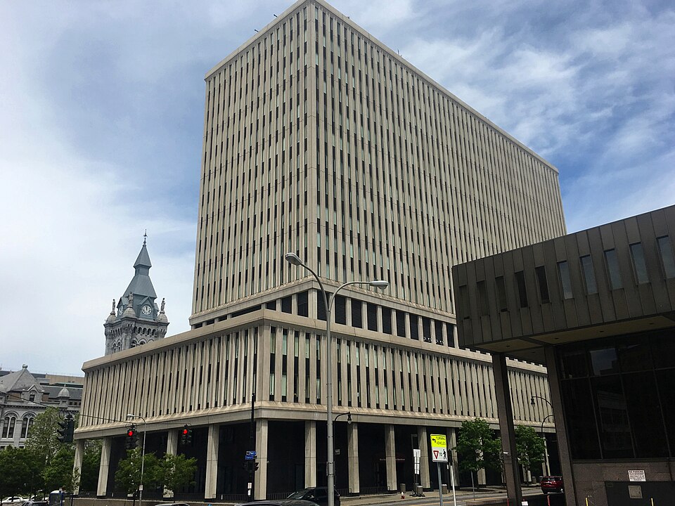 Main Place MallBuffalo, NY · 2013Partial Reinhabited · Partial reinhabitation: data center
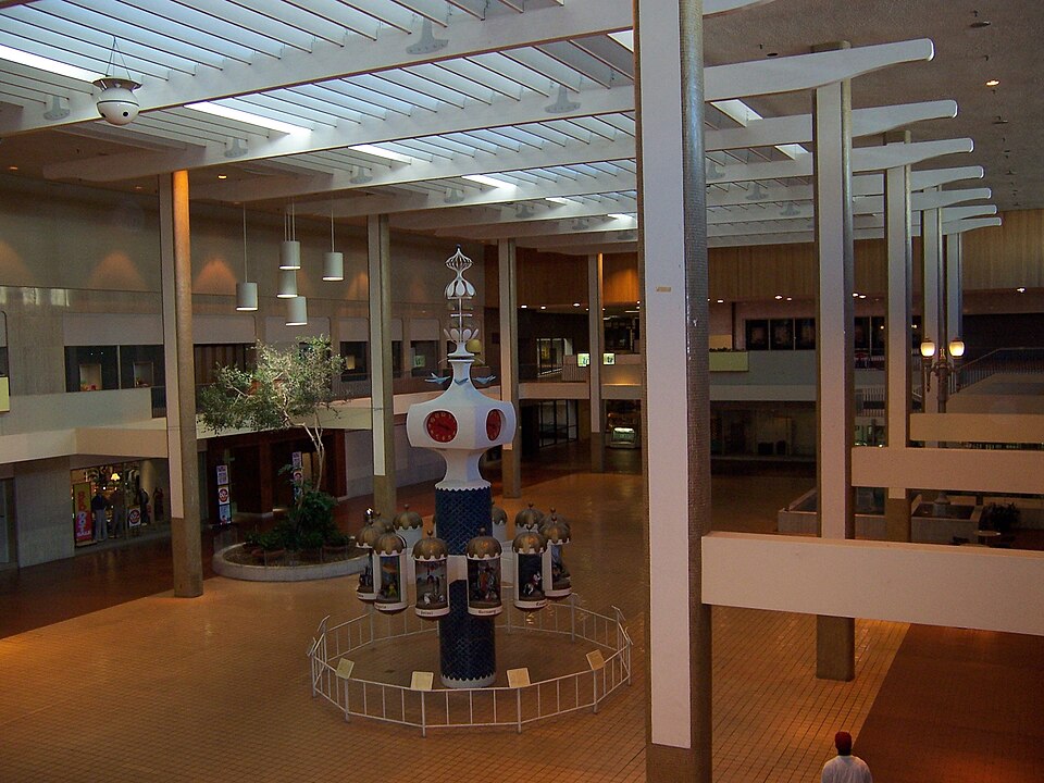 Midtown PlazaRochester, NY · 2005Partial Redeveloped · Regreened · Reinhabited · Partial reinhabitation: residential Partial redevelopment: office…
 Rainbow MallNiagara Falls, NY · 2012Partial Reinhabited · Partial reinhabitation: education