Malls · Missouri
Westroads Shopping Center
Westroads Shopping Center in Richmond Heights, MO, is a mall with unknown status and limited verified information for further research. · summary, model-written
Solid = from the authors' map · outlined = public source · dashed = model-written, not yet reviewed by a person. Tap any value's source label to see where it came from.
Site profile14 elements · what this retrofit is built with · tap a chip for the evidence
100k+ jobs within 45 min by transit
This site: 151,715 epa-walkability · all sites with this3+ other atlas sites within 10 km
This site: 5 within 10 km computed · all sites with thisCounty lost 10%+ of retail establishments since 2012
This site: -16% census-cbp · all sites with thisHigh heat wave risk
This site: Very High fema-nri · all sites with thisHigh inland flooding risk
This site: Relatively High fema-nri · all sites with thisHigh natural hazard risk (FEMA NRI)
This site: Relatively High; inland flooding, heat wave, hail fema-nri · all sites with thisHigh-income tract ($100k+)
This site: $140,563 census-acs · all sites with thisInterstate or freeway within 600 m
This site: IS64E TO BRENTWOOD BLVD fhwa-hpms · all sites with thisLow social vulnerability tract (SVI ≤ 0.25)
This site: 0.13 cdc-svi · all sites with thisRail within 800 m
This site: Richmond Heights openstreetmap · all sites with thisShrinking county
This site: -0.2% census-acs · all sites with thisTract population up 25%+ since 2013
This site: +27% census-acs · all sites with thisWalkable block group (EPA ≥ 12)
This site: …index 16.3 epa-walkability · all sites with thisBuilding footprint 50,000+ m²
This site: 55,496 m² overture · all sites with thisNow
| Status | Status not verifiedWikipedia |
|---|
Site context
| Transit within 800 m | Richmond Heights (rail); 2 bus stops within 400 mOpenStreetMap |
|---|---|
| Motorway junctions within 2 km | 1A;1B, 1C, 1D, 1EOpenStreetMap |
| FEMA flood zone | no NFHL polygon at point (unmapped or outside coverage)FEMA NFHL |
| EPA-regulated facilities within 500 m | 15: BRENTWOOD VOLVO LTD; BRENTWOOD WATERWAY; CLARK OIL STATION #257; COUNTY BLUE REPROGRAPHICS; CVS PHARMACY #10325EPA FRS |
| Census tract 29189216600 | 2,386 people, 2,597 per sq mi; median household income $140,563; median gross rent $1,906; 48% renters; 3.8% vacant units; 2.8% commute by transitACS 2023 5-year |
| Walkability (EPA, block group) | index 16.3 of 20; 96 intersections per sq mi; nearest transit stop 165 m; land-use mix 0.76; 218,228 jobs within 45 min by car, 151,715 by transit; 17% of households without a carEPA Smart Location |
| Opportunity Zone | noHUD |
| Housing permits, St. Louis County (MO), 2024 | 504 units in 5+ unit buildings, 2 in 2–4, 687 single-family; 2023: 296 in 5+Census BPS |
| Social vulnerability (CDC SVI 2022, tract) | overall percentile 0.13; socioeconomic 0.03; housing and transport 0.57; 4% below 150% of poverty; 8% of households with no vehicleCDC/ATSDR |
| Other atlas sites nearby | 5 within 10 km, 14 within 25 km: Costa Verde Center (4.0 km); Crestwood Court (8.8 km); Peter Mathews Memorial Skate Garden (8.8 km); Bellerive Country Club (9.1 km); Westfield Shoppingtown West County (9.4 km)computed |
| Overture Maps | no place match; building footprint 55,496 m²Overture (CDLA-Permissive 2.0) |
| Attention: Wikipedia page views | 82,105 since 2015; 5,859 in the last 12 months (-12% vs the prior 12); peak 2015-12 with 1,007Wikimedia |
| Tract change 2013–2023 | population +27% (1,882 → 2,386); median income +52% ($92,500 → $140,563); renters 20% → 48%; median home value +13% ($567,300 → $639,600)Census ACS 5-year |
| Natural hazard risk (FEMA National Risk Index, tract) | relatively high overall (score 86.6); expected annual loss $2.9M; high: inland flooding, heat wave, hail; community resilience relatively highFEMA NRI |
| Tax-credit housing within 1 km | noneHUD LIHTC |
| Retail trade in the county, 2012 to 2023 | 3,211 establishments (-16%); 58,164 jobs (-13%)Census CBP |
| Housing market in the county | typical home value $285,675 (+3% 1 yr, +24% 5 yr); typical rent $1,490/mo (+4% 1 yr), 2026-09Zillow Research |
| House price index, tract, 2025 | 342 (2000 = 100), +42% 5 yr, +56% 10 yrFHFA |
| Traffic on the busiest road within 600 m (2024) | 13,778 vehicles a day on IS64E TO BRENTWOOD BLVD (Interstate, 4 lanes); 1 counted segmentsFHWA HPMS |
Summary, model-written
Westroads Shopping Center was established as a mall in Richmond Heights, Missouri. Its current status is unknown according to the record. The record is marked as draft with limited verification.
Why. not stated in the record
Where it stands. The site’s status is unknown and no controlling owner is specified in the record; the entry remains a draft.
For a planner
- No policy tools or precedents are documented in the record.
- Open questions include the mall’s timeline, ownership, and reasons for the unknown status.
For a developer
- Site size and parcel details are not provided in the record.
- Control and entitlement stage are unknown.
- Context layers such as flood risk, transit access, and environmental constraints are not described.
- Market signals from tract data are absent.
What we do not know yet
- Opening date, anchor tenant history, and closure timeline are missing.
- Ownership, deed information, and any recent transactions are not stated.
- Zoning, land use approvals, and entitlement status are unknown.
- Floodplain, transit proximity, and environmental constraints are not described.
- Demographic and market data from the surrounding tract are absent.
- The narrative excerpt references Saint Louis Galleria, creating a potential mismatch with Westroads Shopping Center.
Generated by nvidia/nemotron-3-super-120b-a12b on NVIDIA API via Hermes CT from the fields, parcels, deals and context layers on this page, with no outside knowledge. It is regenerated when the record changes and has not been checked by a person. How it is made.
Elsewhere on the web
Search images: Google · Bing · Commons · references: ULI case studies · Google Scholar
History and original facts
| County | St. Louis County |
|---|---|
| Census division | 4 · West North Central |
| Notes | Wikipedia categories: Demolished shopping malls in the United States |
Not yet recorded: acres, GLA, year opened, original developer, what is there now, retrofit year. Know it? Tell us.
Background
Saint Louis Galleria is a shopping mall in Richmond Heights, Missouri, a suburb of St. Louis.
Excerpt from Wikipedia (authors and history), CC BY-SA 4.0. May be older than the record above.
Sources
- Wikipedia: Westroads Shopping Center (Missouri) · 2026-08-06 · CC BY-SA 4.0
More in Missouri
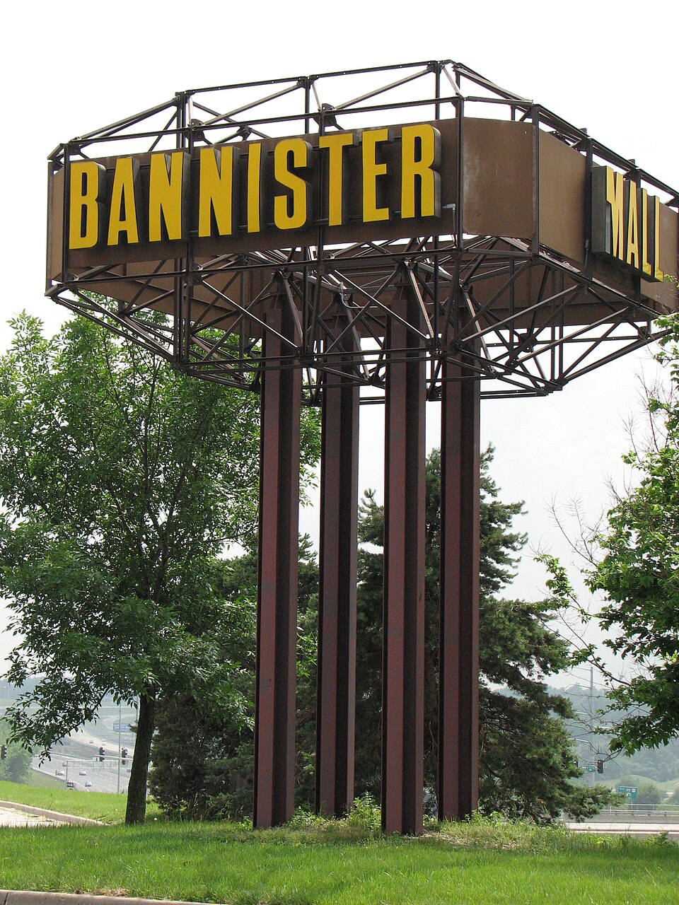 Bannister MallKansas City, MO · 2014Redeveloped · Redevelopment: officeNorthwest Plaza MallSt Anns, MO · 2013Partial Redeveloped · Reinhabited · Partial redevelopment: demolition and new retail Partial…Red Roof MallBranson, MO · 2014Partial Regreened · Partial regreening, baseball fieldArmorySt. Louis, MOReinhabitation, proposed · high end office spaceBellerive Country ClubBellerive Acres, MORedeveloped · University of Missouri–St. Louis