Malls · Virginia
Tower Mall (Portsmouth)
Opened 1973. Redeveloped.
Solid = from the authors' map · outlined = public source · dashed = model-written, not yet reviewed by a person. Tap any value's source label to see where it came from.
Site profile10 elements · what this retrofit is built with · tap a chip for the evidence
Bradlees
This site: Bradlees wikipedia · all sites with thisMontgomery Ward
This site: Montgomery Ward wikipedia · all sites with this15-minute neighbourhood (5+ of 6 daily needs within 800 m)
This site: 5/6 openstreetmap · all sites with this30,000+ vehicles a day on an adjacent road
This site: 58,736 on 264 fhwa-hpms · all sites with thisGrocery within 800 m
This site: 9 stores openstreetmap · all sites with thisInterstate or freeway within 600 m
This site: 264 fhwa-hpms · all sites with thisTract population up 25%+ since 2013
This site: +76% census-acs · all sites with thisWalkable block group (EPA ≥ 12)
This site: …index 14.3 epa-walkability · all sites with thisRedeveloped
This site: Victory Crossing shopping center extraction · all sites with thisRetail (continued)
This site: Victory Crossing shopping center extraction · all sites with thisNow
| Status | Demolishedextracted, unreviewed |
|---|---|
| Strategy | Redevelopedextracted, unreviewed |
| New uses | retailextracted, unreviewed |
| What is there now | Victory Crossing shopping centerextracted, unreviewed |
Site context
| Transit within 800 m | no rail stationOpenStreetMap |
|---|---|
| Motorway junctions within 2 km | 3, 4, 6;5, junctionOpenStreetMap |
| FEMA flood zone | X · AREA OF MINIMAL FLOOD HAZARDFEMA NFHL |
| EPA-regulated facilities within 500 m | 9: AMOCO #768-TANKS; COMER, DON FORD INC; EXXON MOBIL - 20466; FARM FRESH #6275; LOWE'S OF PORTSMOUTH, VA #1593EPA FRS |
| Census tract 51740212600 | 1,753 people, 1,968 per sq mi; median household income $71,333; median gross rent $1,650; 19% renters; 5.6% vacant units; 0.0% commute by transitACS 2023 5-year |
| Walkability (EPA, block group) | index 14.3 of 20; 82 intersections per sq mi; nearest transit stop 594 m; land-use mix 0.72; 83,119 jobs within 45 min by car, 26,242 by transit; 0% of households without a carEPA Smart Location |
| Within a 10–15 minute walk (800 m) | 5 of 6 daily needs: 9 grocers, 2 schools, 0 parks or playgrounds, 1 health, 5 civic, 20 food and drink; 9 cycleway segments, 53 sidewalk-tagged segmentsOpenStreetMap |
| Opportunity Zone | noHUD |
| Housing permits, Portsmouth (Independent City) (VA), 2024 | 112 units in 5+ unit buildings, 0 in 2–4, 188 single-family; 2023: 0 in 5+Census BPS |
| Social vulnerability (CDC SVI 2022, tract) | overall percentile 0.66; socioeconomic 0.71; housing and transport 0.29; 15% below 150% of poverty; 5% of households with no vehicleCDC/ATSDR |
| Other atlas sites nearby | 1 within 10 km, 6 within 25 km: MacArthur Center (7.3 km)computed |
| Overture Maps | no place match; building footprint 14,912 m², 6.755287170410156 mOverture (CDLA-Permissive 2.0) |
| Attention: Wikipedia page views | 4,649 since 2015; 682 in the last 12 months (-1% vs the prior 12); peak 2023-01 with 121Wikimedia |
| Tract change 2013–2023 | population +76% (993 → 1,753); median income +36% ($52,310 → $71,333); renters 24% → 20%; median home value +80% ($152,200 → $273,800)Census ACS 5-year |
| Natural hazard risk (FEMA National Risk Index, tract) | very low overall (score 2.4); expected annual loss $423,202; community resilience relatively highFEMA NRI |
| Tax-credit housing within 1 km | noneHUD LIHTC |
| Retail trade in the county, 2012 to 2023 | 258 establishments (-6%); 3,154 jobs (+1%)Census CBP |
| Housing market in the county | typical home value $266,486 (+2% 1 yr, +26% 5 yr); typical rent $1,642/mo (+6% 1 yr), 2026-09Zillow Research |
| Traffic on the busiest road within 600 m (2024) | 58,736 vehicles a day on 264 (Interstate, 4 lanes); 4,172 trucks; 21 counted segmentsFHWA HPMS |
Summary, model-written
Tower Mall opened in 1973 with anchor stores Bradlees and Montgomery Ward and other 1970s‑80s chains. By the mid‑1990s the primary anchors had vacated the mall, leaving it largely empty. The building was demolished in 2001 to make way for the Victory Crossing shopping center, which now occupies the 53‑acre site.
Why. The record shows that the departure of the main anchors (Bradlees and Montgomery Ward) led to prolonged vacancy, which prompted the demolition and redevelopment. No other causes such as competition, debt, or demolition orders are mentioned in the record.
Where it stands. The site is currently occupied by Victory Crossing shopping center; the record does not specify who controls or owns the property.
For a planner
- The record indicates a redevelopment strategy aimed at retail use.
- No specific policy tools, incentives, or zoning actions are cited in the record.
- Open questions include what entitlements or approvals were required for the demolition and new construction.
- It is unclear whether any community input or environmental review processes were documented.
For a developer
- The site comprises 53 acres, as extracted from the record.
- Current control or ownership of the property is not stated in the record.
- The entitlement stage (e.g., zoning, permits) for the Victory Crossing development is not described.
- Context‑layer constraints such as flood risk, transit access, or environmental conditions are not mentioned.
- Market signals from surrounding tract data (e.g., demographics, spending) are absent from the record.
What we do not know yet
- Owner or controlling entity of the site after demolition is unknown.
- Current tenant mix and lease terms at Victory Crossing are not provided.
- Zoning designation and any land‑use restrictions are not stated.
- Floodplain, wetland, or other environmental constraints are not documented.
- Transit proximity and accessibility details are missing.
- Financial aspects such as demolition cost, public subsidies, or project financing are not recorded.
- The record is marked as 'verified: draft', indicating possible unreviewed or model‑extracted information.
Generated by nvidia/nemotron-3-super-120b-a12b on NVIDIA API via Hermes CT from the fields, parcels, deals and context layers on this page, with no outside knowledge. It is regenerated when the record changes and has not been checked by a person. How it is made.
Similar sites
- Carousel Mall, San Bernardino, CA · Malls · similar size (43 acres); opened 1972; same strategy: redevelop
- Methuen Mall, Methuen, MA · Malls · similar size (60 acres); opened 1973; same strategy: redevelop
- Mohawk Mall, Niskayuna, NY · Malls · similar size (50 acres); opened 1970; same strategy: redevelop
- North Kent Mall, Northview, MI · Malls · similar size (70 acres); opened 1970; same strategy: redevelop
Elsewhere on the web
Retail history: Tower Mall on DeadMalls.com photos, field notes and visitor memories since 2000; matched by name and state only, check the city; nothing copied here
Pages with photos
- Mallmanac.com: Tower Mall, Portsmouth, VA mallmanac.com
- Tower Mall, Portsmouth, VA mallmanac.blogspot.com
- WAVY Archive: 1983 Portsmouth Tower Mall youtube.com
- Tower Mall Cinema 2 in Portsmouth, VA - Cine… cinematreasures.org
Search images: Google · Bing · Commons · references: ULI case studies · Google Scholar
Multifamily screen
- closed or demolished site (sourced)
- 53 acres
Inputs: record fields (size, status) and county Census ACS 2018–2023 figures (growth, rent). How the points work. Not a recommendation.
History and original facts
| Opened | 1973extracted, unreviewed |
|---|---|
| Acres | 53.0extracted, unreviewed |
| Anchors | Montgomery Ward, Bradlees |
| County | Portsmouth city |
| Census division | 5 · South Atlantic |
| Notes | Wikipedia categories: Demolished shopping malls in the United States |
Not yet recorded: GLA, original developer, retrofit year. Know it? Tell us.
Background
Victory Crossing, formerly Tower Mall, was a shopping mall located in Portsmouth, Virginia. The shopping mall opened in 1973. The mall's original primary anchors were Bradlees and Montgomery Ward. It also had some of the most popular mall chains of the 1970s and 1980s including Orange Bowl and Merry Go Round. Primary anchors left the mall vacant by the mid-1990s. The mall was 600,000 sq ft (56,000 m2) on a 53 acres (21 ha) site. The building was demolished in 2001, to make way for a big-box shopping center. Victory Crossing shopping center currently occupies the site of the former Tower Mall.
Excerpt from Wikipedia (authors and history), CC BY-SA 4.0. May be older than the record above.
Timeline
- 1973 Opened
- 2001 Demolished
Sources
- Wikipedia: Tower Mall · supports: acres, after notes, status, strategy, year opened
7 quoted sentences
The shopping mall opened in 1973.
The mall was 600,000 sq ft (56,000 m2) on a 53 acres (21 ha) site.
Victory Crossing shopping center currently occupies the site of the former Tower Mall.
The building was demolished in 2001, to make way for a big-box shopping center.
More in Virginia
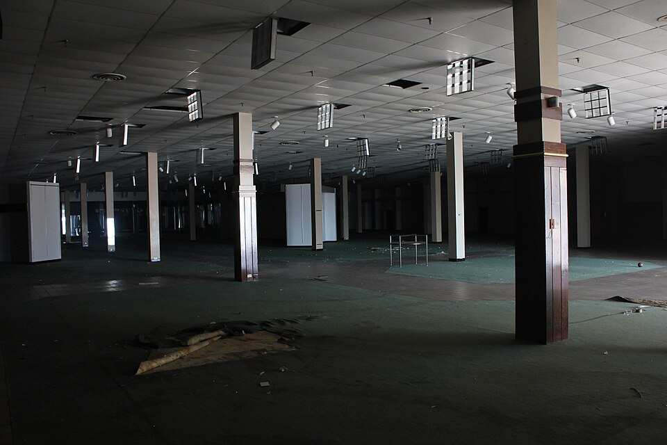 Cloverleaf MallRichmond, VA · 2009Redeveloped · Redevelopment: mixed use, new streetsColiseum MallHampton, VA · 2010Redeveloped · Redevelopment: mixed useNewmarket North MallHampton, VA · 2000Reinhabited · Reinhabitation: office
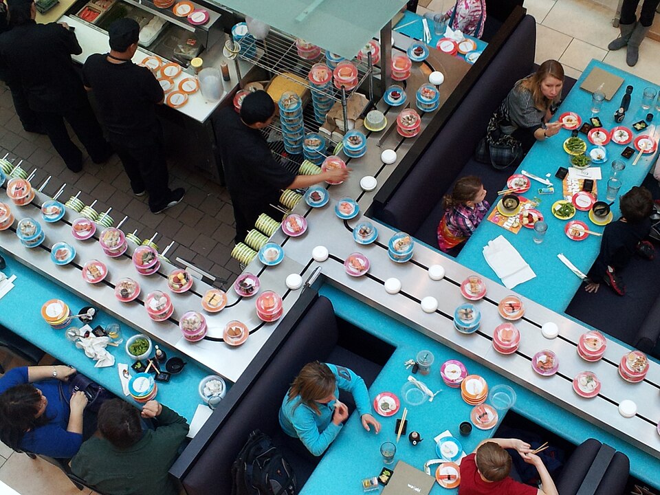 Tysons Corner CenterTysons Corner, VA · 2016Partial Redeveloped · Partial redevelopment: residential
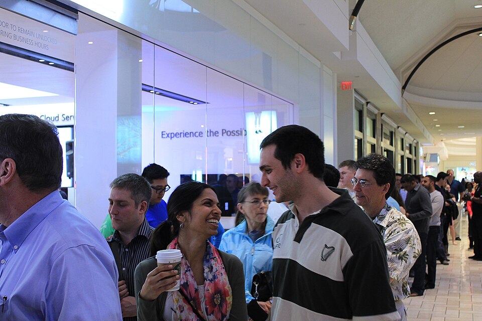 Tysons GalleriaTysons Corner, VA · 2016Partial Redeveloped · Partial redevelopment: office