Malls · Minnesota
Madison East Mall
Reinhabited. · from the fields below
Ask who owns this Download dossier (PDF) · early access Download record (JSON) API Share LinkedIn Correct this recordhttps://retrofitatlas.org/malls/mn/mankato-madison-east-mall/
Solid = from the authors' map · outlined = public source · dashed = model-written, not yet reviewed by a person. Tap any value's source label to see where it came from. documented = a quoted excerpt (click to read it) · reported = a source named, no excerpt yet · no source.
Site profile7 elements · what this retrofit is built with · tap a chip for the evidence
Place
15-minute neighbourhood (5+ of 6 daily needs within 800 m)
This site: 6/6 openstreetmap · all sites with thisBike network nearby
This site: 18 ways openstreetmap · all sites with thisCounty lost 10%+ of retail establishments since 2012
This site: -14% census-cbp · all sites with thisGrocery within 800 m
This site: 3 stores openstreetmap · all sites with thisHigh tornado risk
This site: Relatively High fema-nri · all sites with thisStrategy
Reinhabited
This site: Reinhabitation: healthcare record · all sites with thisNew use
Medical and health
This site: Reinhabitation: healthcare arcgis-webmap · all sites with thisFrom the authors' map
MN, Mankato: Madison East Mall /Madison East Center, 1990s
• Reinhabitation: healthcare
Now
| Status | Retrofit builtauthors' map reported |
|---|---|
| Strategy | Reinhabitedauthors' map reported |
| What is there now | Reinhabitation: healthcareauthors' map reported |
Site context
| FEMA flood zone | X · AREA OF MINIMAL FLOOD HAZARDFEMA NFHL |
|---|---|
| EPA-regulated facilities within 500 m | 20: AAMCO TRANSMISSION; BRIDGEWATER MANKATO; CEDAR HAVEN; CROWN AUTO INC MANKATO; DR WILLIAM A ANDERSONEPA FRS |
| Census tract 27013170400 | 4,204 people, 2,225 per sq mi; median household income $66,765; median gross rent $1,294; 44% renters; 7.8% vacant units; 2.6% commute by transitACS 2023 5-year |
| Walkability (EPA, block group) | index 10.2 of 20; 67 intersections per sq mi; no transit stop within the EPA search radius; land-use mix 0.85; 18,104 jobs within 45 min by car; 20% of households without a carEPA Smart Location |
| Within a 10–15 minute walk (800 m) | 6 of 6 daily needs: 3 grocers, 1 schools, 4 parks or playgrounds, 11 health, 3 civic, 19 food and drink; 18 cycleway segments, 44 sidewalk-tagged segmentsOpenStreetMap |
| Opportunity Zone | noHUD |
| Housing permits, Blue Earth County (MN), 2024 | 154 units in 5+ unit buildings, 36 in 2–4, 81 single-family; 2023: 345 in 5+Census BPS |
| Social vulnerability (CDC SVI 2022, tract) | overall percentile 0.53; socioeconomic 0.29; housing and transport 0.88; 26% below 150% of poverty; 13% of households with no vehicleCDC/ATSDR |
| Other atlas sites nearby | 2 within 10 km, 2 within 25 km: Mankato Place Mall (2.8 km); 602-634 S. Front St. and 112 W. Liberty St. (3.0 km)computed |
| Overture Maps | no place match; building footprint 31,155 m², 5.384612083435059 mOverture (CDLA-Permissive 2.0) |
| Tract change 2013–2023 | population +7% (3,943 → 4,204); median income +53% ($43,663 → $66,765); renters 50% → 44%; median home value +47% ($144,900 → $212,800)Census ACS 5-year |
| Natural hazard risk (FEMA National Risk Index, tract) | relatively moderate overall (score 70.2); expected annual loss $1.6M; high: tornado, hail, strong wind, winter weather, cold wave; community resilience very highFEMA NRI |
| Tax-credit housing within 1 km | noneHUD LIHTC |
| Retail trade in the county, 2025 (BLS QCEW) | 5,467 jobs in 278 establishments; average annual pay $36,106; employment location quotient 1.33; employment -2.4% on the yearBLS QCEW 2025, NAICS 44-45, private |
| Jobs located in the tract, 2022 | 5,153 jobs; 1,281 in retail trade, 924 in accommodation and food (workplace blocks summed to tract 27013170400)Census LEHD LODES8 WAC 2022 |
| Upward mobility (Opportunity Atlas, 2010 tract) | children of low-income (25th percentile) families reached the 48th income percentile as adults; 2.1% incarcerated at the 2010 count (148 children in the sample); born 1978–83, measured 2014–15Opportunity Insights |
| Food access (USDA FARA 2019, 2010 tract) | not a low-access tract at 1 mile; 9% of residents more than 1 mile from a supermarket; poverty rate 10.1%; median family income $74,423; 94 SNAP householdsUSDA ERS |
| Schools | Mankato Public School District (PK-12); 3 public schools within 1 mile: KENNEDY ELEMENTARY; MANKATO EAST SENIOR HIGH; WASHINGTON ELEMENTARYNCES EDGE |
| Elevation | 1,011 ft above sea level at the site pointUSGS 3DEP |
| Storm events in the county, 2016-2025 | 121 county-logged events: 46 thunderstorm wind, 42 hail, 10 heavy rain, 8 funnel cloud; $1,127,000 property damage reported; 1 direct deaths; forecast-zone events (most flood, winter and heat) not countedNOAA Storm Events |
| Homes for sale in ZIP 56001, 2026-09 | median list price $341,150 (-6.5% on the year); 161 active listings; median 62 days on market; 23% with a price cutRealtor.com Research |
| Retail trade in the county, 2012 to 2023 | 280 establishments (-14%); 5,953 jobs (-4%)Census CBP |
| Housing market in the county | typical home value $301,642 (+2% 1 yr, +24% 5 yr); typical rent $1,274/mo (+6% 1 yr), 2026-09Zillow Research |
| House price index, tract, 2025 | 849 (2000 = 100); +10.2% 1 yr, +56% 5 yr, +94% 10 yrFHFA |
| Traffic on the busiest road within 600 m (2024) | 20,854 vehicles a day on Madison Ave (minor arterial, 4 lanes); 959 trucks; 13 counted segmentsFHWA HPMS |
Similar sites
- Mankato Place Mall, Mankato, MN · Malls · same strategy: reinhabit; also in MN; 3 km away
- 100 Oaks Mall, Nashville, TN · Malls · same strategy: reinhabit
- Buford Clairmont Mall, Chamblee, GA · Malls · same strategy: reinhabit
- Allegheny Center Mall, Pittsburgh, PA · Malls · same strategy: reinhabit
Elsewhere on the web
Pages with photos
- Madison East Center - Mankato, MN - 1960s mall that's now mi… reddit.com
- Madison East Center Mankato, MN youtube.com
- Madison East Center - 1400 Madison Ave, Mank… commercialsearch.com
- Madison East Center expanding along Victory Drive | Local News ... mankatofreepress.com
- 1400 Madison Ave, Mankato, MN 56001 | … commercialcafe.com
Search images: Google · Bing · Commons · references: ULI case studies · Google Scholar
Multifamily screen
- county grew 4.6% 2018–23
Inputs: record fields (size, status) and county Census ACS 2018–2023 figures (growth, rent). How the points work. Not a recommendation.
History and original facts
| Now called / also known as | Madison East Center |
|---|---|
| County | Blue Earth County |
| Census division | 4 · West North Central |
Not yet recorded: acres, GLA, year opened, original developer, retrofit year. Know it? Tell us.
Sources
More in Minnesota
Bay Center MallWayzata, MN · 2013Redeveloped · Regreened · Redevelopment: mixed use, senior residential Partial regreening:…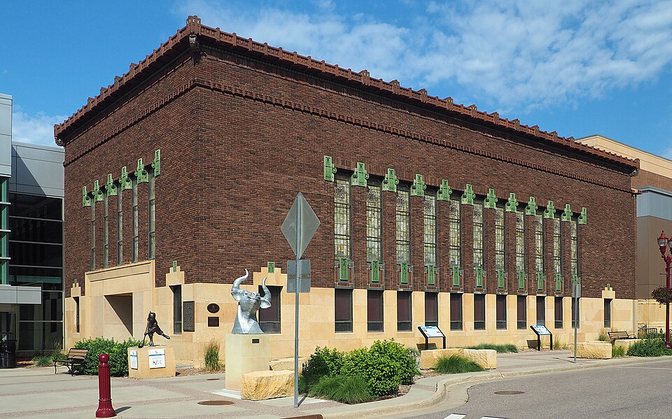 Mankato Place MallMankato, MN · 2012Reinhabited · Reinhabitation, government office
 Maplewood MallMaplewood, MNPartial RegreenedOakdale MallOakdale, MN · 2012Redeveloped · Regreened · Redevelopment: retail, senior residential Partial regreening:…602-634 S. Front St. and 112 W. Liberty St.Mankato, MNRedevelopment, proposed · a six-story building, which would house 150 apartments, a…
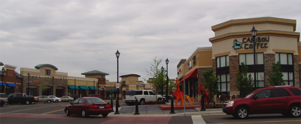 Apache PlazaSt. Anthony, MN · 2004Redeveloped · Silver Lake Village
Mankato Place MallMankato, MN · 2012Reinhabited · Reinhabitation, government officeMaplewood MallMaplewood, MNPartial RegreenedOakdale MallOakdale, MN · 2012Redeveloped · Regreened · Redevelopment: retail, senior residential Partial regreening:…602-634 S. Front St. and 112 W. Liberty St.Mankato, MNRedevelopment, proposed · a six-story building, which would house 150 apartments, a…Apache PlazaSt. Anthony, MN · 2004Redeveloped · Silver Lake Village