Malls · Arizona
Maryvale Mall
Opened 1960. Partial Redeveloped. Owner of record Cartwright Elementary School District No 83.
Solid = from the authors' map · outlined = public source · dashed = model-written, not yet reviewed by a person. Tap any value's source label to see where it came from.
Site profile16 elements · what this retrofit is built with · tap a chip for the evidence
Mervyn's
This site: Mervyn's wikipedia · all sites with thisPublic body
This site: CARTWRIGHT ELEMENTARY SCHOOL DISTRICT NO 83 county-parcels · all sites with this15-minute neighbourhood (5+ of 6 daily needs within 800 m)
This site: 6/6 openstreetmap · all sites with this3+ other atlas sites within 10 km
This site: 3 within 10 km computed · all sites with this30,000+ vehicles a day on an adjacent road
This site: 50,443 on a counted road fhwa-hpms · all sites with thisBike network nearby
This site: 29 ways openstreetmap · all sites with thisCounty permitting 2,000+ apartment units a year
This site: 13,059 units, Maricopa County census-bps · all sites with thisGrocery within 800 m
This site: 3 stores openstreetmap · all sites with thisHigh heat wave risk
This site: Very High fema-nri · all sites with thisHigh social vulnerability tract (SVI ≥ 0.75)
This site: 0.94 cdc-svi · all sites with thisLower-income tract (< $50k)
This site: $41,265 census-acs · all sites with thisRenter-majority tract
This site: 76% census-acs · all sites with thisTract house prices doubled in 10 years
This site: +168% fhfa · all sites with thisRedeveloped
This site: Partial redevelopment, education and retail record · all sites with thisEducation
This site: …new_use field extraction · all sites with thisRetail (continued)
This site: Partial redevelopment, education and retail extraction · all sites with thisFrom the authors' map
AZ, Phoenix: Maryvale Mall
• Partial redevelopment, education and retail
Now
| Status | Partly retrofittedauthors' map |
|---|---|
| Strategy | Partial Redevelopedauthors' map |
| New uses | educationextracted, unreviewed |
| What is there now | Partial redevelopment, education and retailauthors' map |
| Redeveloper | Cartwright Elementary School Districtextracted, unreviewed |
| Owner of record | Cartwright Elementary School District No 83county assessor |
Parcels, tax and title
| Parcel | Owner of record | Acres | Use · zoning | Value (appraised · assessed · taxable) | Last sale · deed | ||||||||||||||||||||||||||||||||||||||||||||||||||||||||||||||||||||||||||||||||||||||
|---|---|---|---|---|---|---|---|---|---|---|---|---|---|---|---|---|---|---|---|---|---|---|---|---|---|---|---|---|---|---|---|---|---|---|---|---|---|---|---|---|---|---|---|---|---|---|---|---|---|---|---|---|---|---|---|---|---|---|---|---|---|---|---|---|---|---|---|---|---|---|---|---|---|---|---|---|---|---|---|---|---|---|---|---|---|---|---|---|---|---|---|
14444327all 46 county fields
| Cartwright Elementary School District No 83 | 28.7 | 9790 · CONTACT LOCAL JURISDICTION | $79.6M (appraised) assessed — · taxable $38.3M | — deed 144 | ||||||||||||||||||||||||||||||||||||||||||||||||||||||||||||||||||||||||||||||||||||||
14444326all 46 county fields
| Cartwright Elementary School District No 83 | 4.7 | 9690 · CONTACT LOCAL JURISDICTION | $1.9M (appraised) assessed — · taxable $1.0M | — deed 144 | ||||||||||||||||||||||||||||||||||||||||||||||||||||||||||||||||||||||||||||||||||||||
| Total | 33.4 | $81.5M |
Deals and debt
| Date | Event | Price | Parties | Source |
|---|---|---|---|---|
| Sold | $7.3M closed | Cartwright Elementary School District ← John F. Long | Wikipedia |
Site context
| FEMA flood zone | no NFHL polygon at point (unmapped or outside coverage)FEMA NFHL |
|---|---|
| EPA-regulated facilities within 500 m | 7: FAST 1 HOUR FOTO; FIRESTONE #2626; MARYVALE CAMPUS; SALLY BEAUTY SUPPLY #10826; WALGREEN #1272EPA FRS |
| Census tract 04013109401 | 3,224 people, 6,420 per sq mi; median household income $41,265; median gross rent $1,482; 76% renters; 3.1% vacant units; 5.1% commute by transitACS 2023 5-year |
| Within a 10–15 minute walk (800 m) | 6 of 6 daily needs: 3 grocers, 7 schools, 18 parks or playgrounds, 12 health, 4 civic, 13 food and drink; 29 cycleway segments, 34 sidewalk-tagged segmentsOpenStreetMap |
| Opportunity Zone | noHUD |
| Housing permits, Maricopa County (AZ), 2024 | 13,059 units in 5+ unit buildings, 1,654 in 2–4, 21,667 single-family; 2023: 18,616 in 5+Census BPS |
| Social vulnerability (CDC SVI 2022, tract) | overall percentile 0.94; socioeconomic 0.99; housing and transport 0.62; 36% below 150% of poverty; 13% of households with no vehicleCDC/ATSDR |
| Other atlas sites nearby | 3 within 10 km, 11 within 25 km: Desert Sky Mall (5.5 km); Manistee Town Center (6.1 km); Metrocenter (9.7 km)computed |
| Overture Maps | no place match; building footprint 20,733 m², 9.5 mOverture (CDLA-Permissive 2.0) |
| Attention: Wikipedia page views | 22,815 since 2015; 2,049 in the last 12 months (-7% vs the prior 12); peak 2019-07 with 365Wikimedia |
| Tract change 2013–2023 | tract boundary changed between the 2010 and 2020 census; no 2013 comparisonCensus ACS |
| Natural hazard risk (FEMA National Risk Index, tract) | relatively low overall (score 43.2); expected annual loss $1.4M; high: heat wave; community resilience very lowFEMA NRI |
| Tax-credit housing within 1 km | noneHUD LIHTC |
| Retail trade in the county, 2012 to 2023 | 11,076 establishments (+6%); 236,674 jobs (+29%)Census CBP |
| Housing market in the county | typical home value $455,168 (-1% 1 yr, +7% 5 yr); typical rent $1,715/mo (+1% 1 yr), 2026-09Zillow Research |
| House price index, tract, 2025 | 319 (2000 = 100), +41% 5 yr, +168% 10 yrFHFA |
| Traffic on the busiest road within 600 m (2024) | 50,443 vehicles a day (principal arterial, 5 lanes); 6 counted segmentsFHWA HPMS |
Similar sites
- Fashion Square Mall, Scottsdale, AZ · Malls · same strategy: redevelop; also in AZ; 22 km away
- Midtown Plaza, Rochester, NY · Malls · opened 1962; same strategy: redevelop
- Los Arcos Mall, Scottsdale, AZ · Malls · same strategy: redevelop; also in AZ; 23 km away
- Northwest Plaza Mall, St Anns, MO · Malls · opened 1963; same strategy: redevelop
Elsewhere on the web
Pages with photos
- Aerial View of Maryvale Mall and Surrounding Residential Area, P… azmemory.azlibrary.gov
- Maryvale Mall in Phoenix, AZ (G… virtualglobetrotting.com
Search images: Google · Bing · Commons · references: ULI case studies · Google Scholar
Multifamily screen
- retrofit already built
- county grew 5.6% 2018–23
- median rent $1,587
Inputs: record fields (size, status) and county Census ACS 2018–2023 figures (growth, rent). How the points work. Not a recommendation.
History and original facts
| Opened | 1960Wikidata |
|---|---|
| Stores at peak | 19extracted, unreviewed |
| Original developer | John F. Longextracted, unreviewed |
| Architect | Victor Gruen |
| Anchors | Target, Mervyn's |
| County | Maricopa County |
| Census division | 8 · Mountain |
Not yet recorded: acres, GLA, retrofit year. Know it? Tell us.
Background
Maryvale Mall, originally known as Maryvale Shopping City, was a shopping mall in the Maryvale area of Phoenix, Arizona that, for a time, was the biggest shopping mall between Dallas, Texas and the West Coast.
Excerpt from Wikipedia (authors and history), CC BY-SA 4.0. May be older than the record above.
Timeline
- 1958 Plans for the shopping center's development were announced
- 1960 Opened (Wikidata)
- 1974 Bowling alley converted to a department store
- 1981 Desert Sky Mall opened, leading to decline
- 2000 Cartwright Elementary School District opened an elementary school and a middle school on the property
Sources
- Wikipedia · supports: original developer, status
6 quoted sentences
Maryvale Shopping City was designed by Victor Gruen and developed by home builder John F. Long
The school district opened an elementary school and a middle school on the property between 2000 and 2001.
Plans for the shopping center's development were announced on July 26, 1958.
In 1974, the bowling alley was converted to a department store, in a project that carried a multi-million dollar price tag.
- Retrofitting Suburbia Interactive Mall Map (ArcGIS web map ce33ab26…) · 2021-01-20
More in Arizona
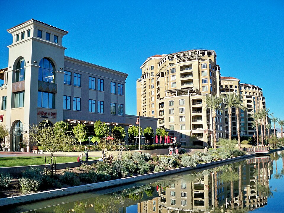 Scottsdale GalleriaScottsdale, AZ · 2000Reinhabited · Reinhabitation: office
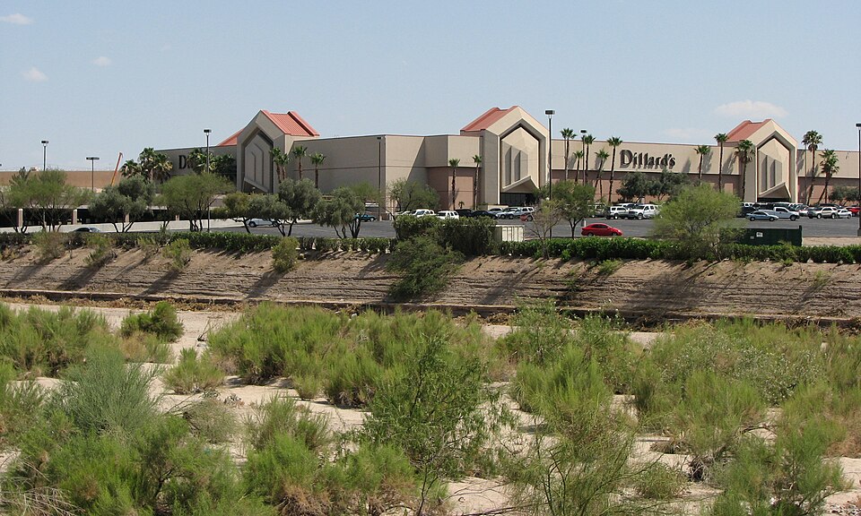 Tucson GalleriaTucson, AZ · 2016Reinhabited · Reinhabitation: officeCamelview PlazaScottsdale, AZStatus not verified