Malls · Minnesota
Block E
Block E in Minneapolis transitioned from a mall to Mayo Clinic Square, with unknown current status and limited data available. · summary, model-written
Solid = from the authors' map · outlined = public source · dashed = model-written, not yet reviewed by a person. Tap any value's source label to see where it came from.
Site profile14 elements · what this retrofit is built with · tap a chip for the evidence
15-minute neighbourhood (5+ of 6 daily needs within 800 m)
This site: 6/6 openstreetmap · all sites with this200+ tax-credit housing units within 1 km
This site: 740 units in 9 properties hud-lihtc · all sites with this3+ other atlas sites within 10 km
This site: 11 within 10 km computed · all sites with thisBike network nearby
This site: 340 ways openstreetmap · all sites with thisCounty lost 10%+ of retail establishments since 2012
This site: -12% census-cbp · all sites with thisGrocery within 800 m
This site: 16 stores openstreetmap · all sites with thisHigh heat wave risk
This site: Relatively High fema-nri · all sites with thisHigh inland flooding risk
This site: Relatively High fema-nri · all sites with thisHigh natural hazard risk (FEMA NRI)
This site: Relatively High; tornado, inland flooding, heat wave, hail, strong wind, winter weather, cold wave fema-nri · all sites with thisHigh tornado risk
This site: Very High fema-nri · all sites with thisHigh-income tract ($100k+)
This site: $123,452 census-acs · all sites with thisInterstate or freeway within 600 m
This site: 394 fhwa-hpms · all sites with thisNational Register place within 500 m
This site: Lumber Exchange Building; Masonic Temple nps-nrhp · all sites with thisRenter-majority tract
This site: 72% census-acs · all sites with thisNow
| Status | Status not verifiedWikipedia |
|---|
Securitised debt and public filers
Filings (2001 to date) that name “Block E” and “Minneapolis” (10 hits, first 10 sampled, 8 other filers such as tenants left out). No commercial-mortgage trust names this mall in the sample, which does not rule out a securitised loan. Text matches, not a title search. Open the search · all trusts.
| Kind | Filer | Filings | Dates | Forms |
|---|---|---|---|---|
| Public owner (weak) | GLOBAL SIGNAL INC | 1 | 2005-02-17 to 2005-02-17 | 8-K 1 |
Site context
| FEMA flood zone | X · AREA OF MINIMAL FLOOD HAZARDFEMA NFHL |
|---|---|
| EPA-regulated facilities within 500 m | 251: 400 WYMAN LLC; 501 MARQUETTE; 520 MARQUETTE BLD; 701 VENTURES INC - FIRST AVENUE; 730 CREATIVEEPA FRS |
| Census tract 27053126102 | 7,232 people, 11,437 per sq mi; median household income $123,452; median gross rent $1,920; 72% renters; 8.0% vacant units; 3.1% commute by transitACS 2023 5-year |
| Within a 10–15 minute walk (800 m) | 6 of 6 daily needs: 16 grocers, 5 schools, 79 parks or playgrounds, 7 health, 10 civic, 187 food and drink; 340 cycleway segments, 421 sidewalk-tagged segmentsOpenStreetMap |
| Opportunity Zone | noHUD |
| National Register places within 500 m | 14: Lumber Exchange Building; Masonic Temple; Rand Tower; Shubert, Sam S., TheatreNPS |
| Housing permits, Hennepin County (MN), 2024 | 1,739 units in 5+ unit buildings, 126 in 2–4, 2,054 single-family; 2023: 3,772 in 5+Census BPS |
| Social vulnerability (CDC SVI 2022, tract) | overall percentile 0.35; socioeconomic 0.25; housing and transport 0.94; 18% below 150% of poverty; 17% of households with no vehicleCDC/ATSDR |
| Other atlas sites nearby | 11 within 10 km, 30 within 25 km: Minneapolis City Center (0.2 km); Kmart store site (0.7 km); Hotel Dyckman (0.7 km); Warehouse District (0.7 km); Wells Fargo Home Mortgage campus (0.7 km)computed |
| Overture Maps | no place match; building footprint 7,301 m², 19.890186309814453 mOverture (CDLA-Permissive 2.0) |
| Attention: Wikipedia page views | 27,207 since 2015; 2,573 in the last 12 months (+2% vs the prior 12); peak 2019-07 with 637Wikimedia |
| Tract change 2013–2023 | tract boundary changed between the 2010 and 2020 census; no 2013 comparisonCensus ACS |
| Natural hazard risk (FEMA National Risk Index, tract) | relatively high overall (score 94.2); expected annual loss $5.0M; high: tornado, inland flooding, heat wave, hail, strong wind, winter weather, cold wave; community resilience very highFEMA NRI |
| Tax-credit housing within 1 km | 9 LIHTC properties, 740 units: Mill City Quarter (150 units); Opportunity Housing (116 units); Salvation Army Hope Harbor (96 units)HUD LIHTC |
| Retail trade in the county, 2025 (BLS QCEW) | 65,774 jobs in 3,548 establishments; average annual pay $47,428; employment location quotient 0.72; employment -2.5% on the yearBLS QCEW 2025, NAICS 44-45, private |
| Jobs located in the tract, 2022 | 67,057 jobs; 675 in retail trade, 4,942 in accommodation and food (workplace blocks summed to tract 27053126102)Census LEHD LODES8 WAC 2022 |
| Upward mobility (Opportunity Atlas, 2010 tract) | children of low-income (25th percentile) families reached the 40th income percentile as adults; 0.4% incarcerated at the 2010 count (29 children in the sample); born 1978–83, measured 2014–15Opportunity Insights |
| Food access (USDA FARA 2019, 2010 tract) | not a low-access tract at 1 mile; poverty rate 20.3%; median family income $121,917; 478 SNAP householdsUSDA ERS |
| Schools | Minneapolis Public School District (PK-12); 14 public schools within 1 mile: MN International Middle Chr School; Twin Cities International Schools; Metro College Prep; SET Academy MiddleNCES EDGE |
| Elevation | 851 ft above sea level at the site pointUSGS 3DEP |
| Storm events in the county, 2016-2025 | 308 county-logged events: 139 thunderstorm wind, 122 hail, 25 heavy rain, 16 flash flood; $18,687,200 property damage reported; forecast-zone events (most flood, winter and heat) not countedNOAA Storm Events |
| Homes for sale in ZIP 55403, 2026-09 | median list price $256,225 (-32.0% on the year); 100 active listings; median 69 days on market; 16% with a price cutRealtor.com Research |
| Retail trade in the county, 2012 to 2023 | 3,714 establishments (-12%); 74,922 jobs (+1%)Census CBP |
| Housing market in the county | typical home value $386,707 (+1% 1 yr, +8% 5 yr); typical rent $1,784/mo (+4% 1 yr), 2026-09Zillow Research |
| Traffic on the busiest road within 600 m (2024) | 29,629 vehicles a day on 394 (Interstate, 8 lanes); 3,030 trucks; 32 counted segmentsFHWA HPMS |
Summary, model-written
Block E opened as a mall in downtown Minneapolis and was later redeveloped into Mayo Clinic Square, a building bounded by Hennepin Avenue, North 6th and 7th Streets and 1st Avenue North. The record does not specify an opening or closure date, but notes the site’s current status is unknown.
Why. The record does not state any specific causes for the site’s change, such as anchor store losses, competition, debt, or demolition.
Where it stands. The site’s status is listed as unknown in the record, and no owner or controlling entity is identified.
For a planner
- City planning department uses the 'Block E' designation for zoning and land‑use planning.
- Adjacent METRO Blue and Green line light rail station offers transit‑oriented development opportunities.
- Open question: what future uses are permitted under current zoning and how might the site integrate with the Downtown West neighborhood plan.
For a developer
- Site size and ownership are not specified in the record.
- Entitlement stage and any permits are not mentioned.
- Located one block south of the METRO Blue and Green line light rail station, offering transit access.
- Market signal: opportunity score highlights a median rent of $1,439.
What we do not know yet
- Exact opening date, original mall configuration, and date of conversion to Mayo Clinic Square are not recorded.
- Ownership, current leaseholders, and controlling entity are unknown.
- Zoning, entitlements, and any land‑use restrictions are not detailed.
- Environmental constraints (floodplain, soil, etc.) and transit impact studies are absent.
- The record is based on a single source and is marked as draft, indicating thin data quality.
Generated by nvidia/nemotron-3-super-120b-a12b on NVIDIA API via Hermes CT from the fields, parcels, deals and context layers on this page, with no outside knowledge. It is regenerated when the record changes and has not been checked by a person. How it is made.
Elsewhere on the web
Pages with photos
- Remember When Block E Was a Success? - Streets.mn streets.mn
- Robot Cosmonaut robotcosmonaut.tumblr.com
- Block E | Zerr Berg Architects zerrbergarchitects.com
- Minneapolis' former Block E gets two new restaurants twincities.com
- Block E Minneapolis flickr.com
- Minneapolis' Block E has a new owner startribune.com
- Block E – Minnesota Lath and Plaster Bureau mnlath-plaster.com
Search images: Google · Bing · Commons · references: ULI case studies · Google Scholar
Multifamily screen
- median rent $1,439
Inputs: record fields (size, status) and county Census ACS 2018–2023 figures (growth, rent). How the points work. Not a recommendation.
History and original facts
| County | Hennepin County |
|---|---|
| Census division | 4 · West North Central |
| Notes | Wikipedia categories: Defunct shopping malls in the United States |
Not yet recorded: acres, GLA, year opened, original developer, what is there now, retrofit year. Know it? Tell us.
Background
Mayo Clinic Square on Block E in downtown Minneapolis, is a building bounded by Hennepin Avenue, North 6th Street, North 7th Street, and 1st Avenue North. It is part of the Downtown West neighborhood in Minneapolis, historically known as the Warehouse District. It is one block south of the Warehouse District/Hennepin Avenue light rail station on the METRO Blue and Green lines. "Block E" is a City planning department designation of the block; other blocks have similar designations
Excerpt from Wikipedia (authors and history), CC BY-SA 4.0. May be older than the record above.
Sources
- Wikipedia: Block E (Minneapolis, shopping mall) · 2026-07-06 · CC BY-SA 4.0
More in Minnesota
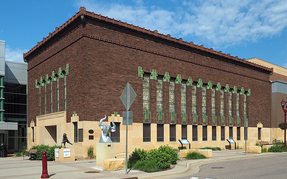 Mankato Place MallMankato, MN · 2012Reinhabited · Reinhabitation, government office
 Maplewood MallMaplewood, MNPartial RegreenedOakdale MallOakdale, MN · 2012Redeveloped · Regreened · Redevelopment: retail, senior residential Partial regreening:…602-634 S. Front St. and 112 W. Liberty St.Mankato, MNRedevelopment, proposed · a six-story building, which would house 150 apartments, a…