Malls · South Carolina
Rock Hill Galleria
Opened 1991.
Solid = from the authors' map · outlined = public source · dashed = model-written, not yet reviewed by a person. Tap any value's source label to see where it came from.
Site profile7 elements · what this retrofit is built with · tap a chip for the evidence
Belk
This site: Belk wikipedia · all sites with thisSears
This site: Sears wikipedia · all sites with thisClosed per a 2014 list or a Wikipedia category, unchecked
This site: …closed import, no source · all sites with thisHigh tornado risk
This site: Relatively High fema-nri · all sites with thisLower-income tract (< $50k)
This site: $49,535 census-acs · all sites with thisShrinking county
This site: -1.3% census-acs · all sites with thisTract income flat or down since 2013
This site: +9% census-acs · all sites with thisNow
| Status | ClosedEsri 2014 layer |
|---|
Site context
| FEMA flood zone | X · AREA OF MINIMAL FLOOD HAZARDFEMA NFHL |
|---|---|
| EPA-regulated facilities within 500 m | 1: BIG DAN'S CAR WASHEPA FRS |
| Census tract 45047970202 | 5,580 people, 1,576 per sq mi; median household income $49,535; median gross rent $995; 45% renters; 7.7% vacant units; 0.0% commute by transitACS 2023 5-year |
| Walkability (EPA, block group) | index 8.2 of 20; 38 intersections per sq mi; no transit stop within the EPA search radius; land-use mix 0.64; 9,447 jobs within 45 min by car; 2% of households without a carEPA Smart Location |
| Opportunity Zone | noHUD |
| Housing permits, Greenwood County (SC), 2024 | 0 units in 5+ unit buildings, 0 in 2–4, 193 single-family; 2023: 0 in 5+Census BPS |
| Social vulnerability (CDC SVI 2022, tract) | overall percentile 0.38; socioeconomic 0.45; housing and transport 0.41; 28% below 150% of poverty; 10% of households with no vehicleCDC/ATSDR |
| Overture Maps | no place match; building footprint 8,490 m²Overture (CDLA-Permissive 2.0) |
| Tract change 2013–2023 | population -36% (8,724 → 5,580); median income +9% ($45,484 → $49,535); renters 37% → 45%; median home value +24% ($125,100 → $155,700)Census ACS 5-year |
| Natural hazard risk (FEMA National Risk Index, tract) | relatively moderate overall (score 70.7); expected annual loss $2.2M; high: tornado, ice storm, cold wave, lightning; community resilience relatively moderateFEMA NRI |
| Tax-credit housing within 1 km | 2 LIHTC properties, 18 units: Trakas Avenue Apts Phase Ii (10 units); Trakas Avenue Apts Phase I (8 units)HUD LIHTC |
| Retail trade in the county, 2012 to 2023 | 284 establishments (+4%); 3,764 jobs (+16%)Census CBP |
| Housing market in the county | typical home value $174,626 (+0% 1 yr, +15% 5 yr); typical rent $1,101/mo (+4% 1 yr), 2026-09Zillow Research |
| House price index, tract, 2025 | 289 (2000 = 100); -1.0% 1 yr, +39% 5 yr, +74% 10 yrFHFA |
| Traffic on the busiest road within 600 m (2024) | 22,900 vehicles a day on BYP 72 NE (principal arterial, 4 lanes); 696 trucks; 34 counted segmentsFHWA HPMS |
Summary, model-written
The Rock Hill Galleria opened in 1991 as a 678,979‑square‑foot mall with up to 54 stores. It is now listed as closed, though the record does not specify when closure occurred or what happened afterward.
Why. The record does not state any reasons for the mall’s closure; no anchor losses, competition, debt, or demolition events are listed.
Where it stands. The site is currently closed and its controlling owner is not identified in the record.
For a planner
- No specific precedents or policy tools are mentioned in the record.
- Open questions include the cause of closure, current zoning, and potential future reuse options.
For a developer
- Site size: 678,979 sq ft GLA (large parcel).
- Ownership and control are unknown per the record.
- Entitlement stage, floodplain status, transit access, and environmental constraints are not specified.
- Market signals from surrounding tract data are not provided.
What we do not know yet
- Closure date is missing.
- Reasons for closure (anchor loss, competition, debt, demolition) are not stated.
- Current owner or controlling entity is unknown.
- Present use or vacancy status of the structure is not described.
- Zoning, land‑use, floodplain, transit proximity, and environmental constraints are absent from the record.
Generated by nvidia/nemotron-3-super-120b-a12b on NVIDIA API via Hermes CT from the fields, parcels, deals and context layers on this page, with no outside knowledge. It is regenerated when the record changes and has not been checked by a person. How it is made.
Similar sites
- Hutchinson Mall, Hutchinson, KS · Malls · similar GLA (525,368 sq ft); opened 1985
- Princeton Forrestal Village, Princeton, NJ · Malls · similar GLA (770,000 sq ft); opened 1987
- Medley Centre, Rochester, NY · Malls · similar GLA (783,381 sq ft); opened 1990
- The Mall at Steamtown, Scranton, PA · Malls · similar GLA (565,000 sq ft); opened 1993
Elsewhere on the web
Pages with photos
- Rock Hill Galleria 1 commons.wikimedia.org
- LiveMalls livemallsblog.com
- Sky City: Retail History: Rock Hill Galleria: Rock Hill, SC skycity2.blogspot.com
- ROCK HILL GALLERIA - Updated July 2026 - 19 Photos & 23 Reviews - 230… yelp.com
- Rock Hill Galleria - Rock Hill SC | Conor Guinn-Bailey | Flickr flickr.com

Search images: Google · Bing · Commons · references: ULI case studies · Google Scholar
Multifamily screen
- closed or demolished per category only, +0 until sourced
- 678,979 sq ft GLA (large site)
Inputs: record fields (size, status) and county Census ACS 2018–2023 figures (growth, rent). How the points work. Not a recommendation.
History and original facts
| Opened | 1991Esri 2014 layer |
|---|---|
| Gross leasable area | 678,979 sq ftEsri 2014 layer |
| Stores at peak | 54Esri 2014 layer |
| Anchors | Steve & Barry's, Sears, Wal-Mart, Belk |
| Address | I-77 & Dave Lyle Blvd. |
| County | Greenwood |
| Census division | 5 · South Atlantic |
| Notes | Listed as a closed mall in Esri's 2014 Closed_US_Malls layer (Directory of Major Malls data). Current status to be checked. |
Not yet recorded: acres, original developer, what is there now, retrofit year. Know it? Tell us.
Timeline
- 1991 Opened
Sources
- Esri StoryMaps: Closed_US_Malls feature layer (2014) · 2014-10-02
More in South Carolina
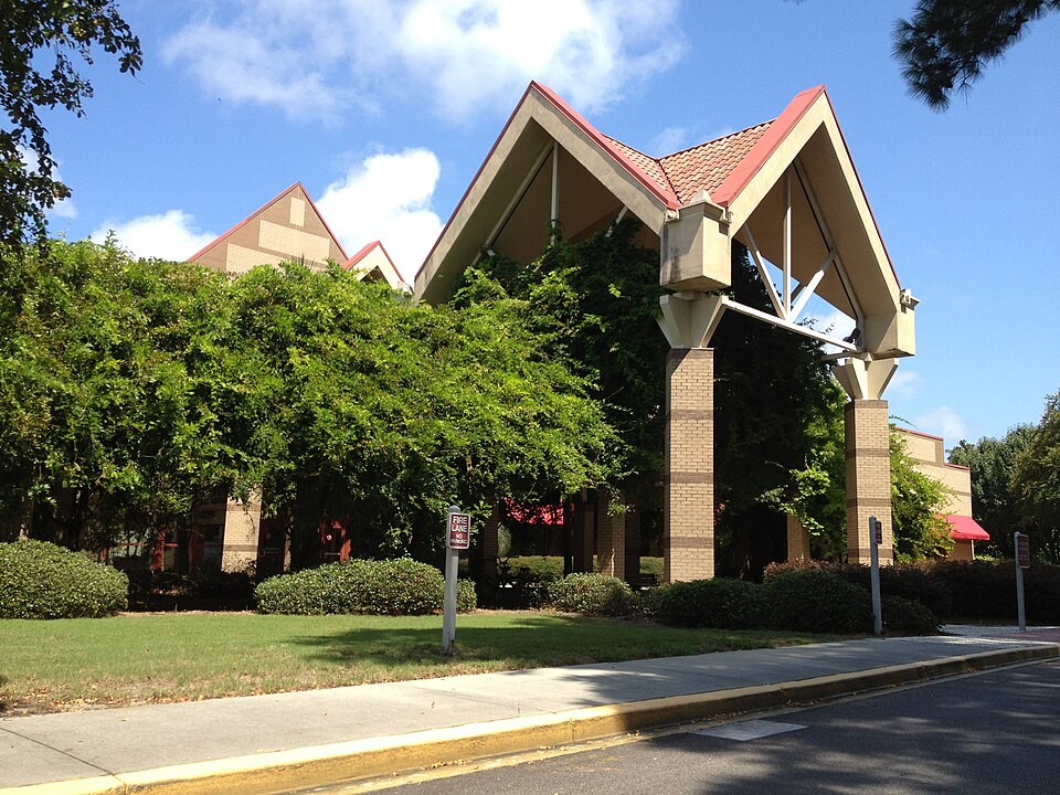 The Mall at Shelter Cove MallHilton Head, SC · 2013Partial Redeveloped · Regreened · Redevelopment: mixed use Partial regreening: parkAiken MallAiken, SCClosed
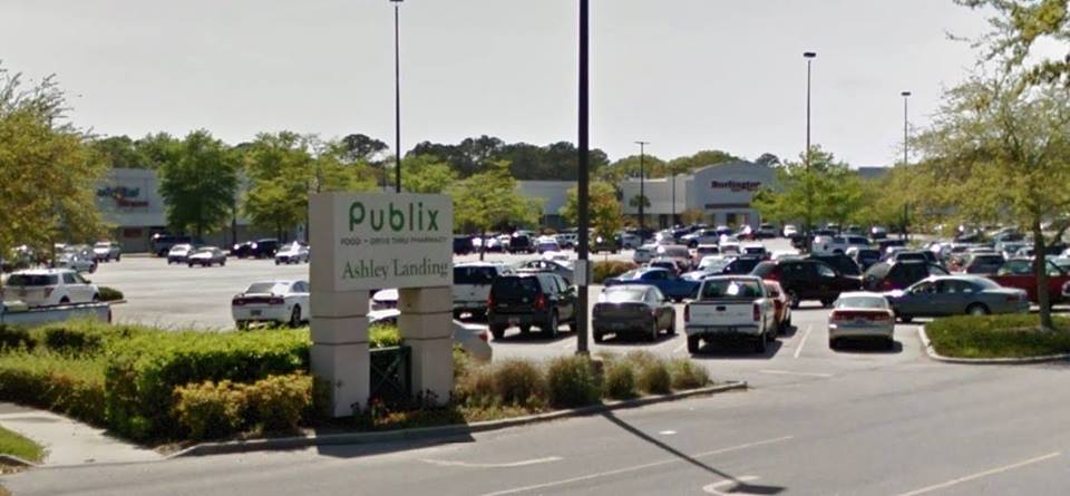 Ashley Plaza MallCharleston, SCOperatingCharles Towne SquareNorth Charleston, SCRedeveloped · The former mall site has been redeveloped as an office complex, with…Chester MallChester County, SCRedeveloped
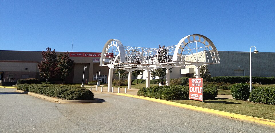 Greenville MallGreenville, SCStatus not verified