Malls · Massachusetts
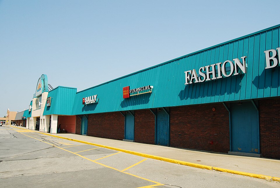
New Harbour Mall
Opened 1971. Closed 2016. Redeveloped in 2017.
Solid = from the authors' map · outlined = public source · dashed = model-written, not yet reviewed by a person. Tap any value's source label to see where it came from. documented = a quoted excerpt (click to read it) · reported = a source named, no excerpt yet · no source.
Site profile12 elements · what this retrofit is built with · tap a chip for the evidence
Kmart
This site: Kmart wikipedia · all sites with this15-minute neighbourhood (5+ of 6 daily needs within 800 m)
This site: 6/6 openstreetmap · all sites with this30,000+ vehicles a day on an adjacent road
This site: 45,173 on a counted road fhwa-hpms · all sites with thisCounty lost 10%+ of retail establishments since 2012
This site: -10% census-cbp · all sites with thisCounty typical rent $2,000+
This site: $2,072/mo zillow · all sites with thisGrocery within 800 m
This site: 3 stores openstreetmap · all sites with thisInterstate or freeway within 600 m
This site: fhwa-hpms · all sites with thisTract house prices doubled in 10 years
This site: +102% fhfa · all sites with thisTract income up 60%+ since 2013
This site: +74% census-acs · all sites with thisWalkable block group (EPA ≥ 12)
This site: …index 15.2 epa-walkability · all sites with thisRedeveloped
This site: SouthCoast Marketplace is a power center extraction · all sites with thisRetail (continued)
This site: SouthCoast Marketplace is a power center extraction · all sites with thisNow
| Status | Closedextracted, unreviewed |
|---|---|
| Strategy | Redevelopedextracted, unreviewed |
| New uses | retailextracted, unreviewed reported |
| What is there now | SouthCoast Marketplace is a power centerextracted, unreviewed |
| Retrofit year | 2017extracted, unreviewed reported |
Site context
| FEMA flood zone | no NFHL polygon at point (unmapped or outside coverage)FEMA NFHL |
|---|---|
| EPA-regulated facilities within 500 m | 9: BROOKS 881; CARL J FERREIRA DMD; CHIPOTLE 3711; EMPIRE FORD FALL RIVER; NEON MARKETPLACEEPA FRS |
| Census tract 25005640100 | 5,682 people, 4,251 per sq mi; median household income $80,197; median gross rent $1,051; 22% renters; 6.0% vacant units; 0.0% commute by transitACS 2023 5-year |
| Walkability (EPA, block group) | index 15.2 of 20; 107 intersections per sq mi; nearest transit stop 141 m; land-use mix 0.68; 53,219 jobs within 45 min by car, 8,784 by transit; 12% of households without a carEPA Smart Location |
| Within a 10–15 minute walk (800 m) | 6 of 6 daily needs: 3 grocers, 3 schools, 8 parks or playgrounds, 2 health, 2 civic, 18 food and drink; 7 cycleway segments, 14 sidewalk-tagged segmentsOpenStreetMap |
| Opportunity Zone | noHUD |
| Housing permits, Bristol County (MA), 2024 | 260 units in 5+ unit buildings, 89 in 2–4, 514 single-family; 2023: 121 in 5+Census BPS |
| Social vulnerability (CDC SVI 2022, tract) | overall percentile 0.73; socioeconomic 0.54; housing and transport 0.46; 21% below 150% of poverty; 12% of households with no vehicleCDC/ATSDR |
| Other atlas sites nearby | 0 within 10 km, 2 within 25 kmcomputed |
| Overture Maps | no place match; building footprint 9,995 m²Overture (CDLA-Permissive 2.0) |
| Attention: Wikipedia page views | 9,890 since 2015; 1,381 in the last 12 months (+9% vs the prior 12); peak 2026-05 with 252Wikimedia |
| Tract change 2013–2023 | population +21% (4,688 → 5,682); median income +74% ($45,982 → $80,197); renters 36% → 22%; median home value +72% ($219,100 → $377,500)Census ACS 5-year |
| Natural hazard risk (FEMA National Risk Index, tract) | relatively low overall (score 40.3); expected annual loss $767,844; community resilience relatively highFEMA NRI |
| Tax-credit housing within 1 km | noneHUD LIHTC |
| Retail trade in the county, 2025 (BLS QCEW) | 30,846 jobs in 1,861 establishments; average annual pay $42,225; employment location quotient 1.39; employment -2.0% on the yearBLS QCEW 2025, NAICS 44-45, private |
| Jobs located in the tract, 2022 | 2,312 jobs; 1,210 in retail trade, 529 in accommodation and food (workplace blocks summed to tract 25005640100)Census LEHD LODES8 WAC 2022 |
| Upward mobility (Opportunity Atlas, 2010 tract) | children of low-income (25th percentile) families reached the 43th income percentile as adults; 0.6% incarcerated at the 2010 count (571 children in the sample); born 1978–83, measured 2014–15Opportunity Insights |
| Food access (USDA FARA 2019, 2010 tract) | not a low-access tract at 1 mile; 7% of residents more than 1 mile from a supermarket; poverty rate 15.7%; median family income $60,683; 497 SNAP householdsUSDA ERS |
| Schools | Fall River School District (PK-12); 3 public schools within 1 mile: Atlantis Charter School; Letourneau Elementary School; Henry Lord Community SchoolNCES EDGE |
| Elevation | 178 ft above sea level at the site pointUSGS 3DEP |
| Storm events in the county, 2016-2025 | 220 county-logged events: 98 thunderstorm wind, 56 flood, 26 flash flood, 19 hail; $1,041,600 property damage reported; forecast-zone events (most flood, winter and heat) not countedNOAA Storm Events |
| Homes for sale in ZIP 02721, 2026-09 | median list price $434,000 (+18.9% on the year); 27 active listings; median 75 days on market; 20% with a price cutRealtor.com Research |
| Retail trade in the county, 2012 to 2023 | 1,966 establishments (-10%); 33,520 jobs (-3%)Census CBP |
| Housing market in the county | typical home value $545,691 (+4% 1 yr, +30% 5 yr); typical rent $2,072/mo (+2% 1 yr), 2026-09Zillow Research |
| House price index, tract, 2025 | 508 (2000 = 100); -3.3% 1 yr, +56% 5 yr, +102% 10 yrFHFA |
| Traffic on the busiest road within 600 m (2024) | 45,173 vehicles a day (freeway or expressway, 4 lanes); 1,996 trucks; 18 counted segmentsFHWA HPMS |
Summary, model-written
Opened in 1971 as an enclosed mall, New Harbour Mall operated until its closure in 2016. The site was redeveloped and the SouthCoast Marketplace power center opened in 2017, replacing the former mall.
Why. The record does not specify the reasons for the mall’s closure or redevelopment.
Where it stands. The site currently hosts the SouthCoast Marketplace power center (opened 2017), but the record does not identify the controlling owner or entity.
For a planner
- Precedent: conversion of an enclosed mall to a power center retail format.
- Policy tools used: not stated in the record.
- Open questions: long-term adaptability of the power center and any needed infrastructure upgrades.
For a developer
- Site size: approximately 385,000 sq ft of GLA.
- Control: ownership/developer not specified in the record.
- Entitlement stage: redevelopment completed in 2017, suggesting entitlements were secured.
- Constraints: no flood, transit, or environmental constraints are mentioned in the record.
- Market signals: opportunity score is 0.0 due to retrofit already built, closed/demolished status, and modest county growth (3.5% 2018‑23).
What we do not know yet
- Owner/developer identity and current control are not provided.
- Reasons for the original mall’s closure are not stated.
- Exact demolition or site preparation timeline is not detailed.
- Fields such as year_closed, year_retrofit, after_notes, status, strategy, and new_use are marked as extraction and unreviewed.
- Context‑layer data (flood risk, transit access, environmental constraints) are absent.
Generated by nvidia/nemotron-3-super-120b-a12b on NVIDIA API via Hermes CT from the fields, parcels, deals and context layers on this page, with no outside knowledge. It is regenerated when the record changes and has not been checked by a person. How it is made.
Similar sites
- Fairfield Commons Mall, Glen Allen, VA · Malls · similar GLA (335,000 sq ft); opened 1968; closed 2015
- Swansea Mall, Swansea, MA · Malls · opened 1975; closed 2019; same strategy: redevelop
- Niagara Square, shopping centre · Malls · similar GLA (390,000 sq ft); opened 1977; closed 2017
- NOHO West, North Hollywood, CA · Malls · similar GLA (452,000 sq ft); opened 1968; closed 2016
Elsewhere on the web
Retail history: New Harbour Mall on DeadMalls.com photos, field notes and visitor memories since 2000; matched by name and city; nothing copied here
Pages with photos
- New Harbour Mall commons.wikimedia.org
- New life for the New Harbour Mall? 'Major' announcement coming Tue… heraldnews.com
- New Harbour Mall: Fall River, Massachusetts … deadmalls.com
- New Harbour Mall Tour - Fall River, MA - Dead Mall youtube.com
- Out with the old in with the new wbsm.com
- New Harbour Mall In Fall River, MA: From Bradlees And Kma… bestattractions.org
- New Harbour Mall in Fall River target of $50M redevelopment … pbn.com
- New Harbour Mall; Fall River, Massachusetts - Labelscar: Th… labelscar.com

Search images: Google · Bing · Commons · references: ULI case studies · Google Scholar
Multifamily screen
- retrofit already built
- closed or demolished site (sourced)
- county grew 3.5% 2018–23
Inputs: record fields (size, status) and county Census ACS 2018–2023 figures (growth, rent). How the points work. Not a recommendation.
History and original facts
| Opened | 1971Esri 2014 layer |
|---|---|
| Closed | 2016extracted, unreviewed |
| Gross leasable area | 385,000 sq ftEsri 2014 layer reported |
| Stores at peak | 25Esri 2014 layer reported |
| Anchors | Wal-Mart, Kmart |
| Address | 81 & 24 |
| County | Bristol |
| Census division | 1 · New England |
| Notes | Wikipedia categories: Demolished shopping malls in the United States |
Not yet recorded: acres, original developer. Know it? Tell us.
Background
SouthCoast Marketplace is a power center in Fall River, Massachusetts, United States, at the intersection of Route 24 and Route 81. The center opened in 2017 and replaced the New Harbour Mall, an enclosed shopping mall that was located at the site from 1971 to 2016.
Excerpt from Wikipedia (authors and history), CC BY-SA 4.0. May be older than the record above.
Timeline
- 1971 Opened
- 2016 Closed
- 2017 SouthCoast Marketplace opened
Sources
- Wikipedia: New Harbour Mall · supports: after notes, status, strategy, year closed
6 quoted sentences
from 1971 to 2016
SouthCoast Marketplace is a power center
from 1971 to 2016
replaced the New Harbour Mall
- Esri StoryMaps: Closed_US_Malls feature layer (2014) · 2014-10-02
More in Massachusetts
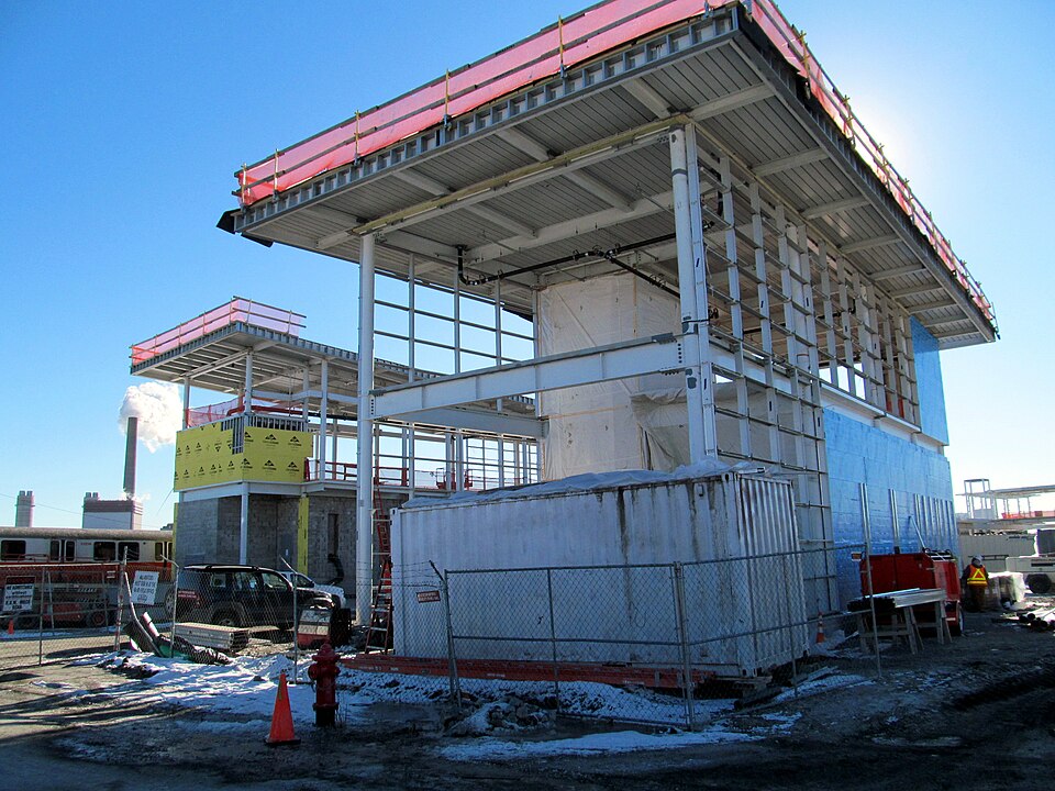 Assembly MallSomerville, MA · 2012Partial Redeveloped · Partial redevelopment, mixed use
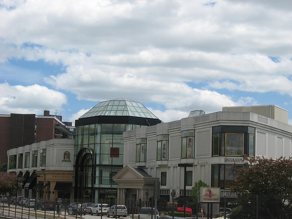 Atrium MallNewton, MA · 2016Reinhabited · Reinhabitation; fitness, medical office, transit shuttleLafayette Place MallBoston, MA · 1997Redeveloped · Reinhabited · Reinhabitation: mixed use and office Redevelopment: 3 additional…
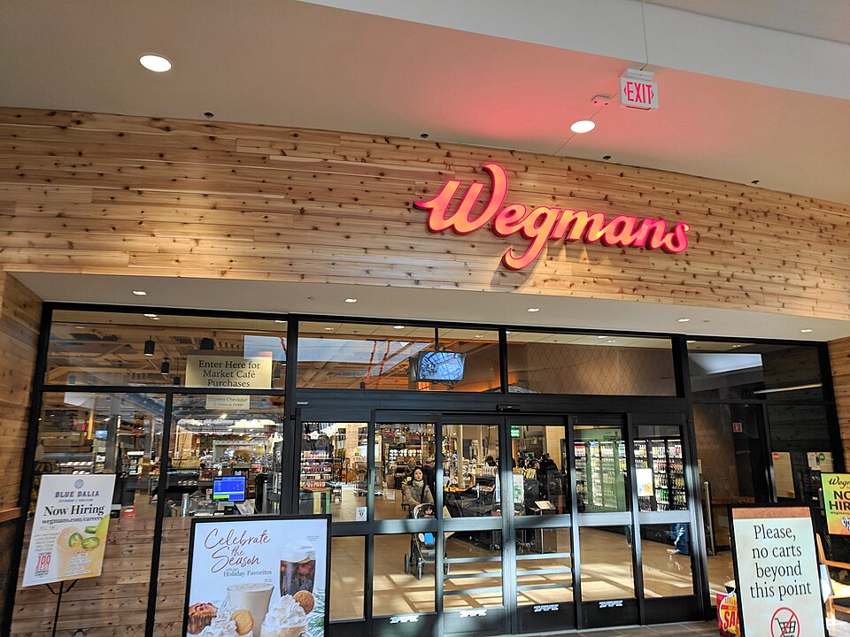 Nouvelle at NatickNatick, MA · 2007Partial Redeveloped · Regreened · Partial redevelopment: residential Partial regreening: green roofWorcester GalleriaWorcester, MA · 2010Redeveloped · Redevelopment: mixed use, new streets