Malls · Ohio
City Center
Opened 1989. Redeveloped · Regreened in 2011. · from the fields below
Solid = from the authors' map · outlined = public source · dashed = model-written, not yet reviewed by a person. Tap any value's source label to see where it came from. documented = a quoted excerpt (click to read it) · reported = a source named, no excerpt yet · no source.
Site profile17 elements · what this retrofit is built with · tap a chip for the evidence
On Facebook
This site: …https://www.facebook.com/133658140122484 overture · all sites with thisWebsite dead or redirecting
This site: …http://www.livehighpointcolumbus.com/ overture / http check · all sites with this15-minute neighbourhood (5+ of 6 daily needs within 800 m)
This site: 6/6 openstreetmap · all sites with this200+ tax-credit housing units within 1 km
This site: 951 units in 6 properties hud-lihtc · all sites with this3+ other atlas sites within 10 km
This site: 7 within 10 km computed · all sites with thisBike network nearby
This site: 175 ways openstreetmap · all sites with thisCounty permitting 2,000+ apartment units a year
This site: 5,940 units, Franklin County census-bps · all sites with thisGrocery within 800 m
This site: 3 stores openstreetmap · all sites with thisHigh inland flooding risk
This site: Very High fema-nri · all sites with thisNational Register place within 500 m
This site: Schlee-Kemmler Building; Second Presbyterian Church nps-nrhp · all sites with thisRenter-majority tract
This site: 83% census-acs · all sites with thisUnder 20 acres
This site: 9 acres research-planning · all sites with thisRedeveloped
This site: Regreening: park Partial redevelopment: mixed-use residential arcgis-webmap · all sites with thisRegreened
This site: Regreening: park Partial redevelopment: mixed-use residential arcgis-webmap · all sites with thisHousing
This site: Regreening: park Partial redevelopment: mixed-use residential Approved by Columbus City Council; Downtown Commission. arcgis-webmap · all sites with thisMixed use
This site: Regreening: park Partial redevelopment: mixed-use residential Approved by Columbus City Council; Downtown Com arcgis-webmap · all sites with thisPark and open space
This site: Regreening: park Partial redevelopment: mixed-use residential Approved by arcgis-webmap · all sites with thisFrom the authors' map
OH, Columbus: City Center/Columbus Commons, 2011
• Regreening: park
• Partial redevelopment: mixed-use residential
Now
| Status | Retrofit builtderived from authors' map (retrofit year present) reported |
|---|---|
| Strategy | Redeveloped · Regreenedauthors' map reported |
| What is there now | Regreening: park Partial redevelopment: mixed-use residentialauthors' map reported |
| Retrofit year | 2011authors' map reported |
| Redeveloper | Capitol South, Columbus Downtown Development CorpWikidata reported |
Planning
| Zoning change | public park plus mixed-use pads (zoning instrument not found)research documentedSome Downtown Commission members questioning the wisdom of spending $15 million to demolish 1.3 million square feet of retail that was only 20 years old. |
|---|---|
| Public purchase or subsidy | About $15M for demolition and park, with $15M requested from federal stimulus. Funding drew on Columbus Downtown Development Corp, Capitol South, Franklin County Commissioners and Metro Parks.research reported |
| Entitlement year | 2009research reported |
| Planning notes | Approved by Columbus City Council; Downtown Commission. research reported |
Securitised debt and public filers
As reported by the owner
Property tables from the owner's annual report (Form 10-K, Item 2) on EDGAR, one row per filing year. GLA, occupancy and anchors are the filer's own figures at that year end; “leased” counts signed leases, “occupied” counts open stores; ownership is the filer's share. Matched by name and place, unreviewed; the verbatim table row is in sec_facts.csv.
| Year end | Filer | Name in filing | GLA sq ft | Occupancy | Years | Share | Sales psf | Anchors listed |
|---|---|---|---|---|---|---|---|---|
| 2004 | The Mills Corporation 10-K, 2005-03-31 | Columbus City Center Columbus, OH match: exact | 1,066,000 in-line 356,000 | acquired 2004 | Forever 21 and Kaufmann’s |
Site context
| FEMA flood zone | X · AREA OF MINIMAL FLOOD HAZARDFEMA NFHL |
|---|---|
| EPA-regulated facilities within 500 m | 27: AGFA CORP C/O HYATT CAPITAL SQ; ARNOLD CORP; ATHLETIC CLUB OF COLUMBUS; BBI LOGISTICS LLC; CERTIFIED OIL COEPA FRS |
| Census tract 39049004002 | 2,893 people, 5,902 per sq mi; median household income $63,676; median gross rent $1,404; 83% renters; 10.2% vacant units; 4.7% commute by transitACS 2023 5-year |
| Within a 10–15 minute walk (800 m) | 6 of 6 daily needs: 3 grocers, 3 schools, 118 parks or playgrounds, 4 health, 11 civic, 67 food and drink; 175 cycleway segments, 795 sidewalk-tagged segmentsOpenStreetMap |
| Opportunity Zone | noHUD |
| National Register places within 500 m | 15: Schlee-Kemmler Building; Second Presbyterian Church; Ohio National Bank; Ohio TheatreNPS |
| Housing permits, Franklin County (OH), 2024 | 5,940 units in 5+ unit buildings, 169 in 2–4, 2,013 single-family; 2023: 5,113 in 5+Census BPS |
| Social vulnerability (CDC SVI 2022, tract) | overall percentile 0.31; socioeconomic 0.42; housing and transport 0.71; 24% below 150% of poverty; 29% of households with no vehicleCDC/ATSDR |
| Other atlas sites nearby | 7 within 10 km, 10 within 25 km: Columbus Bus Station (0.2 km); Northland (0.4 km); 195 E. Broad Street (0.5 km); Trolley District (3.6 km); Indianola Park Shopping Center (4.9 km)computed |
| Overture Maps | place Highpoint On Columbus Commons (historic_site, confidence 0.99, from Overture, Overture-signals, meta); building footprint 22,367 m², 9.954084396362305 mOverture (CDLA-Permissive 2.0) |
| Website and social | www.livehighpointcolumbus.com (down or redirecting, status 403); archived 2017–2025 (Wayback) · social: facebookOverture / Internet Archive |
| Attention: Wikipedia page views | 126,785 since 2015; 9,407 in the last 12 months (-20% vs the prior 12); peak 2023-12 with 2,486Wikimedia |
| Tract change 2013–2023 | tract boundary changed between the 2010 and 2020 census; no 2013 comparisonCensus ACS |
| Natural hazard risk (FEMA National Risk Index, tract) | relatively moderate overall (score 82.2); expected annual loss $2.8M; high: inland flooding; community resilience relatively moderateFEMA NRI |
| Tax-credit housing within 1 km | 6 LIHTC properties, 951 units: Ymca Of Central Ohio (400 units); Nazareth Towers (208 units); Fourth Street Ywca Renovation (102 units)HUD LIHTC |
| Retail trade in the county, 2025 (BLS QCEW) | 67,133 jobs in 3,800 establishments; average annual pay $45,092; employment location quotient 0.86; employment -0.1% on the yearBLS QCEW 2025, NAICS 44-45, private |
| Jobs located in the tract, 2022 | 26,266 jobs; 131 in retail trade, 722 in accommodation and food (workplace blocks summed to tract 39049004002)Census LEHD LODES8 WAC 2022 |
| Upward mobility (Opportunity Atlas, 2010 tract) | children of low-income (25th percentile) families reached the 33th income percentile as adults; 8.0% incarcerated at the 2010 count (24 children in the sample); born 1978–83, measured 2014–15Opportunity Insights |
| Food access (USDA FARA 2019, 2010 tract) | not a low-access tract at 1 mile; poverty rate 28.5%; median family income $138,519; 543 SNAP householdsUSDA ERS |
| Schools | Columbus City School District (PK-12); 6 public schools within 1 mile: Early College Academy; United Preparatory Academy; Flex High School; South Columbus Preparatory Academy at German VillageNCES EDGE |
| Elevation | 758 ft above sea level at the site pointUSGS 3DEP |
| Storm events in the county, 2016-2025 | 330 county-logged events: 159 thunderstorm wind, 83 hail, 51 flood, 26 flash flood; $2,543,050 property damage reported; 2 direct deaths; forecast-zone events (most flood, winter and heat) not countedNOAA Storm Events |
| Homes for sale in ZIP 43215, 2026-09 | median list price $395,000 (-6.3% on the year); 126 active listings; median 81 days on market; 21% with a price cutRealtor.com Research |
| Retail trade in the county, 2012 to 2023 | 3,600 establishments (-1%); 65,828 jobs (+2%)Census CBP |
| Housing market in the county | typical home value $292,001 (+0% 1 yr, +23% 5 yr); typical rent $1,511/mo (+3% 1 yr), 2026-09Zillow Research |
| Traffic on the busiest road within 600 m (2024) | 15,556 vehicles a day on S 4TH ST (principal arterial, 2 lanes); 390 trucks; 40 counted segmentsFHWA HPMS |
| Site metrics | 106,444 sq ft GLA per acre; FAR 2.44computed |
Similar sites
- Bellevue Mall, Nashville, TN · Malls · similar GLA (844,124 sq ft); opened 1990; same strategy: redevelop
- Westminster Mall, Westminster, CO · Malls · similar size (7.9 acres); similar GLA (1,200,000 sq ft); same strategy: redevelop
- National Church Residences Corporate Campus, Upper Arlington, OH · Office parks · similar size (7.5 acres); same strategy: redevelop; also in OH
- Midtown Square Mall, Charlotte, NC · Malls · similar size (10 acres); same strategy: redevelop, regreen
Elsewhere on the web
Retail history: Columbus City Center on DeadMalls.com photos, field notes and visitor memories since 2000; matched by name and city; nothing copied here
Pages with photos
- City Center at Night in Columbus, Ohio Stock Image - Image of beautiful ... dreamstime.com
- Columbus City Center - Alchetron, The Free Social Encyclopedia alchetron.com
- A look back at City Center Mall dispatch.com
- The City center at dusk in Columbus, Ohio Stock Photo - Alamy alamy.com
- The Rise And Fall Of Columbus City Center Mall columbusnavigator.com
- Columbus City Center: The Mall That Took Over Columbus, OH, Downtown ... bestattractions.org
- City Center Mall | City Center Mall, Columbus, Oh | Yvette … flickr.com
Search images: Google · Bing · Commons · references: ULI case studies · Google Scholar
Multifamily screen
- retrofit already built
- county grew 3.6% 2018–23
Inputs: record fields (size, status) and county Census ACS 2018–2023 figures (growth, rent). How the points work. Not a recommendation.
History and original facts
| Now called / also known as | Columbus Commons, Columbus City Center |
|---|---|
| Opened | 1989Wikidata |
| Acres | 9.0research reported |
| Gross leasable area | 958,000 sq ftEsri 2014 layer reported |
| Stores at peak | 108Esri 2014 layer reported |
| Address | State, Third, Rich & High Sts. |
| County | Franklin |
| Census division | 3 · East North Central |
| Notes | Wikipedia categories: Demolished shopping malls in the United States |
Not yet recorded: original developer. Know it? Tell us.
Background
Columbus City Center was a 1,250,000 sq ft (116,000 m2), three-level shopping mall in Columbus, Ohio. It was located in the city's downtown, near the Ohio Statehouse, next to the Ohio Theatre, and connected to the Hyatt on Capitol Square hotel. At the time of its opening, City Center was Central Ohio's largest shopping mall. The mall closed and was demolished in 2009. The mall had a large adjacent parking structure attached that remains in use. The parking structure has been joined, directly or via bridge respectively, to two 12 story structures, 250 S. High Street and 80 on the Commons, both of which feature lower level office spaces with residential spaces on the upper floors.
Excerpt from Wikipedia (authors and history), CC BY-SA 4.0. May be older than the record above.
Timeline
- 1989 Opened
- 2011 Retrofit: redevelop, regreen
Sources
- wosu.org · supports: zoning change
1 quoted sentence
Some Downtown Commission members questioning the wisdom of spending $15 million to demolish 1.3 million square feet of retail that was only 20 years old.
- ohioequities.com
- Esri StoryMaps: Closed_US_Malls feature layer (2014) · 2014-10-02
- Retrofitting Suburbia Interactive Mall Map (ArcGIS web map ce33ab26…) · 2021-01-20
- ArcGIS Online · 2022
- Marketplace · 2022
- Wikipedia: Columbus City Center · 2026-10-05 · CC BY-SA 4.0
More in Ohio
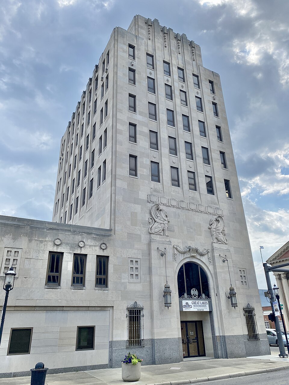 City Centre MartMiddletown, OH · 2001Redeveloped · Redevelopment: restored street grid
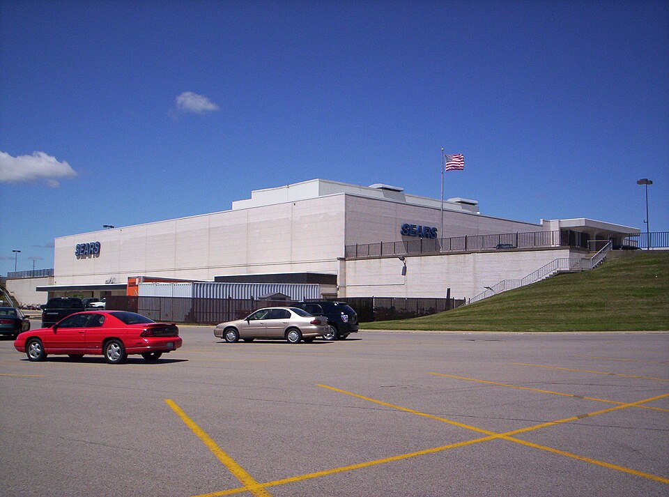
 Portside Festival MarketplaceToledo, OH · 1997Reinhabited · Reinhabitation: science museum
 Richland MallOntario, OH · 2015Partial Reinhabited · Partial reinhabitation: healthcare195 E. Broad StreetColumbus, OHReinhabited · residential housing to the urban core