Malls · Ohio
Beechmont Mall
Redeveloped · Regreened in 2003. Owner of record Anderson Investors Oh LLC.
More
Solid = from the authors' map · outlined = public source · dashed = model-written, not yet reviewed by a person. Tap any value's source label to see where it came from. documented = a quoted excerpt (click to read it) · reported = a source named, no excerpt yet · no source.
Site profile17 elements · what this site is built with · tap a chip for the evidence
Website alive
This site: …http://andersontownecentercincinnati.com/ overture / http check · all sites with thisSingle-purpose entity
This site: ANDERSON INVESTORS OH LLC county-parcels · all sites with this15-minute neighbourhood (5+ of 6 daily needs within 800 m)
This site: 6/6 openstreetmap · all sites with thisBike network nearby
This site: 40 ways openstreetmap · all sites with thisCounty lost 10%+ of retail establishments since 2012
This site: -11% census-cbp · all sites with thisGrocery within 800 m
This site: 2 stores openstreetmap · all sites with thisHigh heat wave risk
This site: Relatively High fema-nri · all sites with thisHigh tornado risk
This site: Relatively High fema-nri · all sites with thisHigh-income tract ($100k+)
This site: $103,782 census-acs · all sites with thisLow social vulnerability tract (SVI ≤ 0.25)
This site: 0.09 cdc-svi · all sites with thisWalkable block group (EPA ≥ 12)
This site: …index 18.2 epa-walkability · all sites with thisRedeveloped
This site: Redevelopment: retail, office, civic, street grid Partial regreening: flood retention park arcgis-webmap · all sites with thisRegreened
This site: Redevelopment: retail, office, civic, street grid Partial regreening: flood retention park arcgis-webmap · all sites with thisCivic and government
This site: Redevelopment: retail, office, civic, street grid Partial regreening: flood retention park arcgis-webmap · all sites with thisOffice
This site: Redevelopment: retail, office, civic, street grid Partial regreening: flood retention p arcgis-webmap · all sites with thisPark and open space
This site: …e, civic, street grid Partial regreening: flood retention park arcgis-webmap · all sites with thisRetail (continued)
This site: Redevelopment: retail, office, civic, street grid Partial regreening: flood ret arcgis-webmap · all sites with thisFrom the authors' map
OH, Anderson Township: Beechmont Mall/Anderson Towne Center, 2003
• Redevelopment: retail, office, civic, street grid
• Partial regreening: flood retention park
Now
| Status | Retrofit builtderived from authors' map (retrofit year present) reported |
|---|---|
| Strategy | Redeveloped · Regreenedauthors' map reported |
| What is there now | Redevelopment: retail, office, civic, street grid Partial regreening: flood retention parkauthors' map reported |
| Retrofit year | 2003authors' map reported |
| Owner of record | Anderson Investors Oh LLCcounty assessor reported |
Links out
Every link is built from an id this record holds (parcel number, filer CIK, Wikidata item, Census tract, coordinates) or from the name and city typed into a search. Nothing here is a guessed address. Search links are marked search in their source note; commercial listing links are marked for search engines not to follow. Hover a link for why it is here.
Official records (6)
government and regulatory records for this site, built from ids on the record
- County GIS parcel record · 050002020197from cagisonline.hamilton-co.org
- Census tract 39061025001 profile (data.census.gov)from data.census.gov
- Census tract 39061025001 on Census Reporterfrom censusreporter.org
- Hamilton County (39061) profile (data.census.gov)from data.census.gov
- FEMA flood map (NFHL) at this point (search)from msc.fema.gov
- EPA ECHO facilities within 1 milefrom echo.epa.gov
Reference (5)
encyclopedic and research references
- Wikipedia articlefrom en.wikipedia.org
- Wikidata item Q85741605from wikidata.org
- Wikimedia Commons photos within 500 mfrom commons.wikimedia.org
- Retrofitting Suburbia (book site)from retrofittingsuburbia.com
- Anderson Township, Ohio on Wikipediafrom en.wikipedia.org
Place (8)
map and street views by coordinates
- Google Mapsfrom google.com
- Street Viewfrom google.com
- Bing Mapsfrom bing.com
- Apple Mapsfrom maps.apple.com
- OpenStreetMapfrom openstreetmap.org
- Walk Score at this pointfrom walkscore.com
- Transitland mapfrom transit.land
- USGS National Mapfrom apps.nationalmap.gov
Market (3)
listings and owner pages; commercial, so search engines are told not to follow
- LoopNet: for sale in Anderson Township, OH (search)from city search
- The site's own websitefrom andersontownecentercincinnati.com
- DeadMalls.com · Beechmont Mallfrom deadmalls.com
News (3)
news searches and archived pages
- Google News: “Beechmont Mall” (search)from name search
- Bing News: “Beechmont Mall” (search)from name search
- Wayback Machine · andersontownecentercincinnati.com (2018–2025)from web.archive.org
History and original facts
| Now called / also known as | Anderson Towne Center |
|---|---|
| County | Hamilton County |
| Census division | 3 · East North Central |
Not yet recorded: acres, GLA, year opened, original developer. Know it? Tell us.
Planning
| No zoning change, subsidy or policy tool recorded for this site. |
Parcels, tax and title
| Parcel | Owner of record | Acres | Use · zoning | Value (appraised · assessed · taxable) | Last sale · deed | ||||||||||||||||||||||||||||||||||||||||||||||||||||||||||||||||||||||||||||||||||||||||||||||||||||||||
|---|---|---|---|---|---|---|---|---|---|---|---|---|---|---|---|---|---|---|---|---|---|---|---|---|---|---|---|---|---|---|---|---|---|---|---|---|---|---|---|---|---|---|---|---|---|---|---|---|---|---|---|---|---|---|---|---|---|---|---|---|---|---|---|---|---|---|---|---|---|---|---|---|---|---|---|---|---|---|---|---|---|---|---|---|---|---|---|---|---|---|---|---|---|---|---|---|---|---|---|---|---|---|---|---|---|---|---|---|---|
050002020197all 64 county fields
| Anderson Investors Oh LLC | 25.3 | 427 | $40.2M (appraised) assessed — | 2018-04-27 deed 500/0202 | ||||||||||||||||||||||||||||||||||||||||||||||||||||||||||||||||||||||||||||||||||||||||||||||||||||||||
| Total | 25.3 | $40.2M |
Site context
| FEMA flood zone | no NFHL polygon at point (unmapped or outside coverage)FEMA NFHL |
|---|---|
| EPA-regulated facilities within 500 m | 6: BP OIL NO 08921; CVS PHARMACY #6123; ELDER BEERMAN; KMART #4852; KROGER #915EPA FRS |
| Census tract 39061025001 | 6,915 people, 3,023 per sq mi; median household income $103,782; median gross rent $1,086; 9% renters; 0.0% vacant units; 1.1% commute by transitACS 2023 5-year |
| Walkability (EPA, block group) | index 18.2 of 20; 236 intersections per sq mi; nearest transit stop 358 m; land-use mix 0.86; 38,787 jobs within 45 min by car, 48,343 by transit; 0% of households without a carEPA Smart Location |
| Within a 10–15 minute walk (800 m) | 6 of 6 daily needs: 2 grocers, 2 schools, 23 parks or playgrounds, 3 health, 3 civic, 31 food and drink; 40 cycleway segments, 185 sidewalk-tagged segmentsOpenStreetMap |
| Opportunity Zone | noHUD |
| Housing permits, Hamilton County (OH), 2024 | 217 units in 5+ unit buildings, 39 in 2–4, 566 single-family; 2023: 654 in 5+Census BPS |
| Social vulnerability (CDC SVI 2022, tract) | overall percentile 0.09; socioeconomic 0.10; housing and transport 0.18; 6% below 150% of poverty; 1% of households with no vehicleCDC/ATSDR |
| Other atlas sites nearby | 1 within 10 km, 11 within 25 km: Anderson Mall (0.2 km)computed |
| Overture Maps | place Anderson Towne Center (shopping_mall, confidence 0.97, from Microsoft, Overture, Overture-signals); building footprint 4,487 m², 10.032910346984863 mOverture (CDLA-Permissive 2.0) |
| Website and social | andersontownecentercincinnati.com (alive); archived 2018–2025 (Wayback)Overture / Internet Archive |
| Attention: Wikipedia page views | 9,603 since 2015; 1,509 in the last 12 months (+0% vs the prior 12); peak 2020-01 with 163Wikimedia |
| Tract change 2013–2023 | population +10% (6,258 → 6,915); median income +34% ($77,379 → $103,782); renters 13% → 9%; median home value +46% ($168,400 → $246,600)Census ACS 5-year |
| Natural hazard risk (FEMA National Risk Index, tract) | relatively moderate overall (score 63.4); expected annual loss $1.7M; high: tornado, heat wave; community resilience relatively highFEMA NRI |
| Tax-credit housing within 1 km | noneHUD LIHTC |
| Retail trade in the county, 2025 (BLS QCEW) | 38,928 jobs in 2,586 establishments; average annual pay $39,344; employment location quotient 0.77; employment -1.1% on the yearBLS QCEW 2025, NAICS 44-45, private |
| Jobs located in the tract, 2022 | 2,473 jobs; 569 in retail trade, 352 in accommodation and food (workplace blocks summed to tract 39061025001)Census LEHD LODES8 WAC 2022 |
| Upward mobility (Opportunity Atlas, 2010 tract) | children of low-income (25th percentile) families reached the 46th income percentile as adults; -0.1% incarcerated at the 2010 count (307 children in the sample); born 1978–83, measured 2014–15Opportunity Insights |
| Food access (USDA FARA 2019, 2010 tract) | low-access at 1 mile, not low-income; 43% of residents more than 1 mile from a supermarket; poverty rate 6.0%; median family income $109,145; 61 SNAP householdsUSDA ERS |
| Schools | Forest Hills Local School District (PK-12); 2 public schools within 1 mile: Anderson High School; Sherwood Elementary SchoolNCES EDGE |
| Elevation | 806 ft above sea level at the site pointUSGS 3DEP |
| Storm events in the county, 2016-2025 | 324 county-logged events: 147 thunderstorm wind, 71 flash flood, 57 hail, 41 flood; $6,576,950 property damage reported; 2 direct deaths; forecast-zone events (most flood, winter and heat) not countedNOAA Storm Events |
| Homes for sale in ZIP 45255, 2026-09 | median list price $406,950 (+8.6% on the year); 31 active listings; median 34 days on market; 22% with a price cutRealtor.com Research |
| Retail trade in the county, 2012 to 2023 | 2,518 establishments (-11%); 40,920 jobs (-26%)Census CBP |
| Housing market in the county | typical home value $266,241 (+1% 1 yr, +24% 5 yr); typical rent $1,468/mo (+2% 1 yr), 2026-09Zillow Research |
| House price index, tract, 2025 | 581 (2000 = 100); +4.4% 1 yr, +53% 5 yr, +91% 10 yrFHFA |
| Traffic on the busiest road within 600 m (2024) | 29,386 vehicles a day on BEECHMONT AVE (principal arterial, 4 lanes); 305 trucks; 9 counted segmentsFHWA HPMS |
Similar sites
- Anderson Mall, Cincinnati, OH · Malls · same strategy: regreen; also in OH; 0 km away
- CIC Industrial Park, Blue Ash, OH · Industrial sites · same strategy: redevelop; also in OH; 17 km away
- City Center, Columbus, OH · Malls · same strategy: redevelop, regreen; also in OH
- City Centre Mart, Middletown, OH · Malls · same strategy: redevelop; also in OH
Elsewhere on the web
Retail history: Beechmont Mall on DeadMalls.com photos, field notes and visitor memories since 2000; matched by name and state only, check the city; nothing copied here
Pages with photos
- Beechmont Mall - Abandoned - Abandoned Building Photography abandonedonline.net
- do you have any photos of Beechmont Mall Interior? or the map of stores ... reddit.com
- 7418 Beechmont Ave, Cincinnati, OH 45255 | Crexi.com crexi.com
- Beechmont Mall: Cincinnati, Ohio on Dead… deadmalls.com
- Anderson Towne Centre/Beechmont Mall: A … youtube.com
- Beechmont Mall, 2003 | This is not my photo - it's from a WC… | Flickr flickr.com
Search images: Google · Bing · Commons · references: ULI case studies · Google Scholar
Multifamily screen
- retrofit already built
Inputs: record fields (size, status) and county Census ACS 2018–2023 figures (growth, rent). How the points work. Not a recommendation.
Timeline
- 2003 Retrofit: redevelop, regreen
Sources
More in Ohio
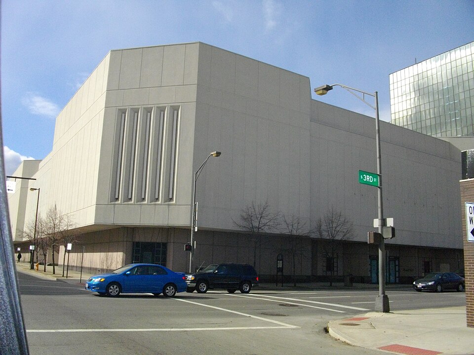 City CenterColumbus, OH · 2011Redeveloped · Regreened · Regreening: park Partial redevelopment: mixed-use residential
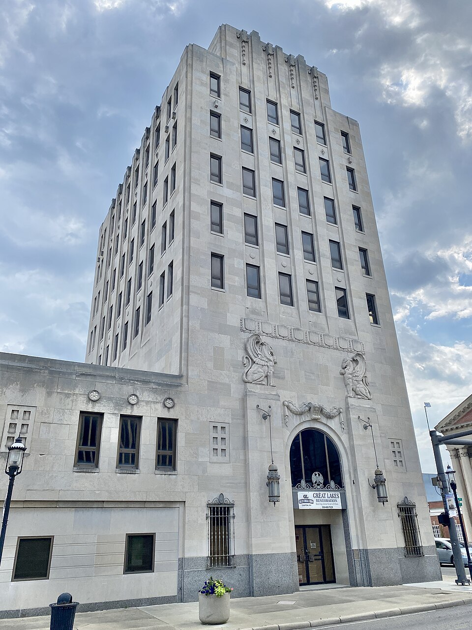 City Centre MartMiddletown, OH · 2001Redeveloped · Redevelopment: restored street grid
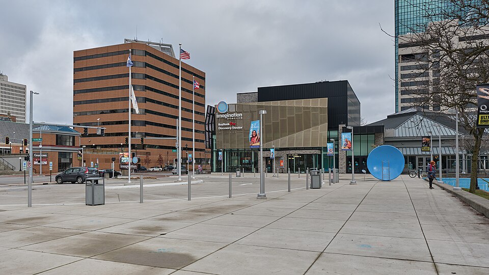 Portside Festival MarketplaceToledo, OH · 1997Reinhabited · Reinhabitation: science museum
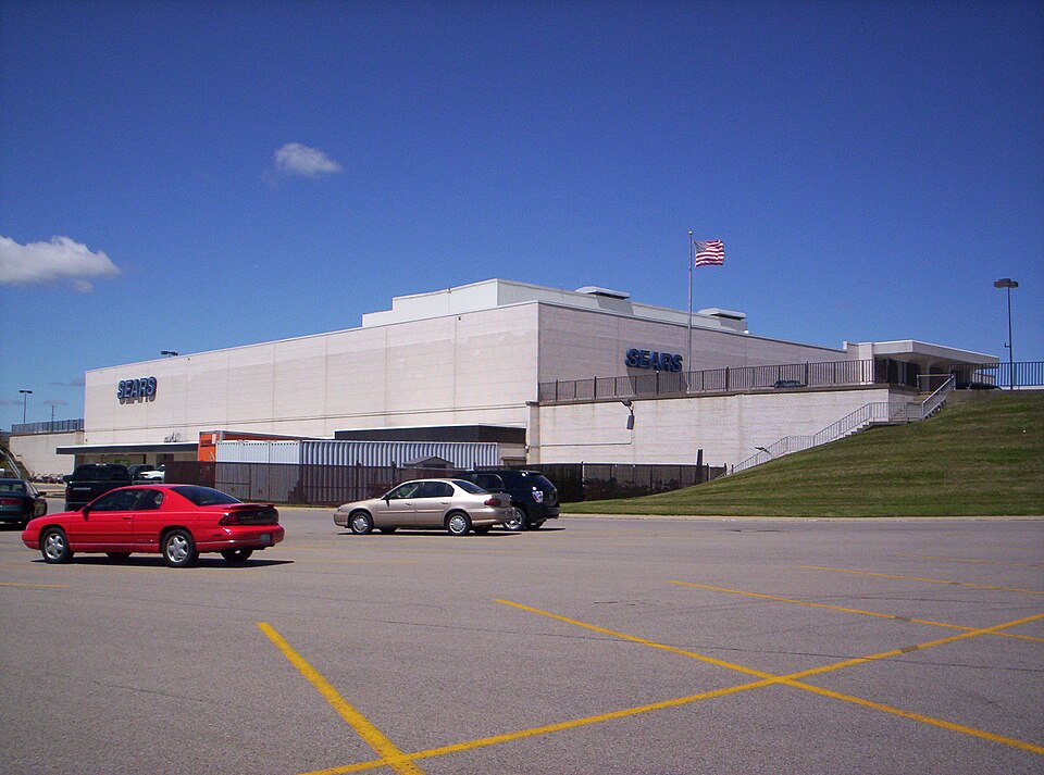 Richland MallOntario, OH · 2015Partial Reinhabited · Partial reinhabitation: healthcare195 E. Broad StreetColumbus, OHReinhabited · residential housing to the urban core