Malls · Virginia
Main Street Station mall
Historic 1901 Richmond train station, Amtrak stop and GRTC hub, designated landmark, current status unknown, ownership and use not disclosed. · summary, model-written
Solid = from the authors' map · outlined = public source · dashed = model-written, not yet reviewed by a person. Tap any value's source label to see where it came from. documented = a quoted excerpt (click to read it) · reported = a source named, no excerpt yet · no source.
Site profile13 elements · what this retrofit is built with · tap a chip for the evidence
15-minute neighbourhood (5+ of 6 daily needs within 800 m)
This site: 6/6 openstreetmap · all sites with this200+ tax-credit housing units within 1 km
This site: 269 units in 3 properties hud-lihtc · all sites with this3+ other atlas sites within 10 km
This site: 4 within 10 km computed · all sites with this30,000+ vehicles a day on an adjacent road
This site: 145,697 on 95 fhwa-hpms · all sites with thisBike network nearby
This site: 76 ways openstreetmap · all sites with thisCounty permitting 2,000+ apartment units a year
This site: 2,077 units, Richmond (Independent City) census-bps · all sites with thisGrocery within 800 m
This site: 6 stores openstreetmap · all sites with thisInterstate or freeway within 600 m
This site: 95 fhwa-hpms · all sites with thisLow social vulnerability tract (SVI ≤ 0.25)
This site: 0.21 cdc-svi · all sites with thisNational Register place within 500 m
This site: Planters National Bank; Main Street Station and Trainshed nps-nrhp · all sites with thisOpportunity Zone
This site: 51760020500 hud-oz · all sites with thisRail within 800 m
This site: Richmond Main Street openstreetmap · all sites with thisRenter-majority tract
This site: 93% census-acs · all sites with thisNow
| Status | Status not verifiedWikipedia reported |
|---|
Site context
| Transit within 800 m | Richmond Main Street (rail); 13 bus stops within 400 mOpenStreetMap |
|---|---|
| Motorway junctions within 2 km | 190, 73, 74A, 74BOpenStreetMap |
| FEMA flood zone | X · AREA WITH REDUCED FLOOD HAZARD DUE TO ACCREDITED LEVEE SYSTEMFEMA NFHL |
| EPA-regulated facilities within 500 m | 20: 12TH ST POWER STATION; 14TH STREET PARKING LOT; BACON HOUSING SCP, LP; BUREAU OF FACILITIES MGMT ZINCKE BLDG; CAVALIER PRESSEPA FRS |
| Census tract 51760020501 | 3,131 people, 9,266 per sq mi; median household income $58,143; median gross rent $1,409; 93% renters; 13.0% vacant units; 7.6% commute by transitACS 2023 5-year |
| Within a 10–15 minute walk (800 m) | 6 of 6 daily needs: 6 grocers, 4 schools, 18 parks or playgrounds, 1 health, 7 civic, 78 food and drink; 76 cycleway segments, 503 sidewalk-tagged segmentsOpenStreetMap |
| Opportunity Zone | yes, tract 51760020500 (rural)HUD |
| National Register places within 500 m | 14: Planters National Bank; Main Street Station and Trainshed; First African Baptist Church; Donnan-Asher Iron-Front BuildingNPS |
| Housing permits, Richmond (Independent City) (VA), 2024 | 2,077 units in 5+ unit buildings, 83 in 2–4, 380 single-family; 2023: 1,890 in 5+Census BPS |
| Social vulnerability (CDC SVI 2022, tract) | overall percentile 0.21; socioeconomic 0.33; housing and transport 0.57; 17% below 150% of poverty; 21% of households with no vehicleCDC/ATSDR |
| Other atlas sites nearby | 4 within 10 km, 9 within 25 km: Sauer Center (0.6 km); Tobacco Row (0.7 km); Willow Lawn Shopping Center (8.0 km); Cloverleaf Mall (9.5 km)computed |
| Overture Maps | no place match; building footprint 7,744 m²Overture (CDLA-Permissive 2.0) |
| Attention: Wikipedia page views | 132,638 since 2015; 12,963 in the last 12 months (-18% vs the prior 12); peak 2025-11 with 1,433Wikimedia |
| Tract change 2013–2023 | tract boundary changed between the 2010 and 2020 census; no 2013 comparisonCensus ACS |
| Natural hazard risk (FEMA National Risk Index, tract) | very low overall (score 13.2); expected annual loss $811,144; community resilience relatively moderateFEMA NRI |
| Tax-credit housing within 1 km | 3 LIHTC properties, 269 units: Jefferson Townhouses (218 units); Market Slip (30 units); 8 & 10 South 14Th Street (21 units)HUD LIHTC |
| Retail trade in the county, 2025 (BLS QCEW) | 7,608 jobs in 767 establishments; average annual pay $40,979; employment location quotient 0.46; employment -0.1% on the yearBLS QCEW 2025, NAICS 44-45, private |
| Jobs located in the tract, 2022 | 1,586 jobs; 27 in retail trade, 252 in accommodation and food (workplace blocks summed to tract 51760020501)Census LEHD LODES8 WAC 2022 |
| Upward mobility (Opportunity Atlas, 2010 tract) | children of low-income (25th percentile) families reached the 29th income percentile as adults; 5.4% incarcerated at the 2010 count (242 children in the sample); born 1978–83, measured 2014–15Opportunity Insights |
| Food access (USDA FARA 2019, 2010 tract) | not a low-access tract at 1 mile; poverty rate 17.9%; median family income $108,571; 109 SNAP householdsUSDA ERS |
| Schools | Richmond City Public Schools (PK-12); 8 public schools within 1 mile: Richmond Hospital Ep.; Virginia Treatment Ctr.; Yvonne B. Miller High School; Chimborazo ElementaryNCES EDGE |
| Elevation | 27 ft above sea level at the site pointUSGS 3DEP |
| Storm events in the county, 2016-2025 | 124 county-logged events: 59 flash flood, 30 thunderstorm wind, 24 heavy rain, 5 tornado; $142,000 property damage reported; forecast-zone events (most flood, winter and heat) not countedNOAA Storm Events |
| Homes for sale in ZIP 23219, 2026-09 | median list price $344,975 (-13.5% on the year); 18 active listings; median 39 days on market; 6% with a price cutRealtor.com Research |
| Retail trade in the county, 2012 to 2023 | 778 establishments (-4%); 8,329 jobs (-8%)Census CBP |
| Housing market in the county | typical home value $365,737 (+2% 1 yr, +24% 5 yr); typical rent $1,604/mo (+3% 1 yr), 2026-09Zillow Research |
| House price index, tract, 2021 | 184 (2000 = 100); +11.3% 1 yr, +28% 5 yr, +65% 10 yrFHFA |
| Traffic on the busiest road within 600 m (2024) | 145,697 vehicles a day on 95 (Interstate, 6 lanes); 14,946 trucks; 25 counted segmentsFHWA HPMS |
Summary, model-written
Opened in 1901 as a railroad station, Main Street Station has provided Amtrak service and served as an intermodal hub with GRTC bus transit. It was listed on the National Register of Historic Places in 1970 and designated a National Historic Landmark in 1976. The record does not describe any later conversion to mall use or closure.
Why. not stated in the record
Where it stands. Current status is listed as unknown in the record, and no owning entity or controlling party is indicated.
For a planner
- Historic landmark designation triggers preservation review for any alterations or redevelopment.
- Existing Amtrak and GRTC intermodal connections provide a foundation for transit‑oriented development concepts.
- Open question: what is the present ownership, zoning, and actual use of the site?
For a developer
- Site size and parcel boundaries are not provided in the record.
- Ownership and control are unspecified, leaving entitlement stage unclear.
- No context‑layer data (flood risk, environmental constraints, detailed transit access) are included.
- Market‑signal information from surrounding census tracts is absent.
What we do not know yet
- Exact opening date as a mall (if ever) and any subsequent closure or repurposing are unknown.
- Current ownership, management entity, and any deed restrictions are not stated.
- Site acreage, parcel configuration, and building footprint are missing.
- Zoning designation, permitted uses, and any entitlements or approvals are not described.
- Flood‑plain, environmental, or hazard data from context layers are absent.
- Local market indicators (population, income, retail demand) from tract data are not included.
Generated by nvidia/nemotron-3-super-120b-a12b on NVIDIA API via Hermes CT from the fields, parcels, deals and context layers on this page, with no outside knowledge. It is regenerated when the record changes and has not been checked by a person. How it is made.
Elsewhere on the web
Search images: Google · Bing · Commons · references: ULI case studies · Google Scholar
History and original facts
| Anchors | Staples |
|---|---|
| County | Richmond city |
| Census division | 5 · South Atlantic |
| Notes | Wikipedia categories: Defunct shopping malls in the United States |
Not yet recorded: acres, GLA, year opened, original developer, what is there now, retrofit year. Know it? Tell us.
Background
Richmond Main Street Station, officially the Main Street Station and Trainshed, is a historic railroad station and office building in Richmond, Virginia. It was built in 1901, and is served by Amtrak. It is also an intermodal station with Richmond's city transit bus services, which are performed by Greater Richmond Transit Company (GRTC). The station is colloquially known by residents as The Clock Tower. It was listed to the National Register of Historic Places in 1970, and in 1976 was made a U.S. National Historic Landmark. Main Street Station serves as a secondary train station for Richmond providing limited Amtrak service directly to downtown Richmond. Several Amtrak trains serving the Richmond metropolitan area only stop at the area's primary rail station, Staples Mill Road which is located five miles to the north in Henrico County.
Excerpt from Wikipedia (authors and history), CC BY-SA 4.0. May be older than the record above.
Sources
- Wikipedia: Main Street Station mall (Richmond) · 2026-07-16 · CC BY-SA 4.0
More in Virginia
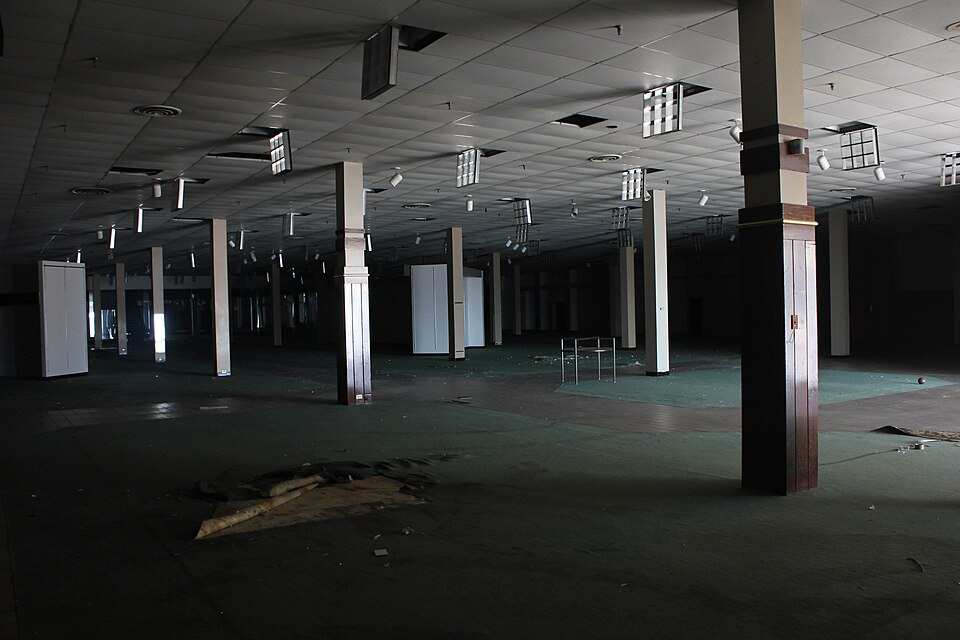 Cloverleaf MallRichmond, VA · 2009Redeveloped · Redevelopment: mixed use, new streets
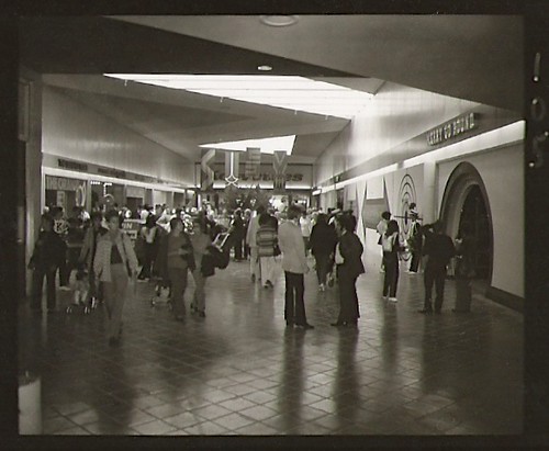 Coliseum MallHampton, VA · 2010Redeveloped · Redevelopment: mixed useNewmarket North MallHampton, VA · 2000Reinhabited · Reinhabitation: office
 Tysons Corner CenterTysons Corner, VA · 2016Partial Redeveloped · Partial redevelopment: residential
 Tysons GalleriaTysons Corner, VA · 2016Partial Redeveloped · Partial redevelopment: office