Malls · Wisconsin
Brookfield Mall Sears
Partial Redeveloped in 2019. · from the fields below
Ask who owns this Download dossier (PDF) · early access Download record (JSON) API Share LinkedIn Correct this recordhttps://retrofitatlas.org/malls/wi/brookfield-brookfield-mall-sears/
Solid = from the authors' map · outlined = public source · dashed = model-written, not yet reviewed by a person. Tap any value's source label to see where it came from.
Site profile10 elements · what this retrofit is built with · tap a chip for the evidence
Place
30,000+ vehicles a day on an adjacent road
This site: 34,978 on USH 018E fhwa-hpms · all sites with thisBike network nearby
This site: 15 ways openstreetmap · all sites with thisHigh tornado risk
This site: Relatively High fema-nri · all sites with thisHigh-income tract ($100k+)
This site: $119,251 census-acs · all sites with thisLow social vulnerability tract (SVI ≤ 0.25)
This site: 0.09 cdc-svi · all sites with thisWalkable block group (EPA ≥ 12)
This site: …index 15.5 epa-walkability · all sites with thisScale
Building footprint 50,000+ m²
This site: 68,805 m² overture · all sites with thisStrategy
Redeveloped
This site: Partial redevelopment, retail and entertainment record · all sites with thisNew use
Entertainment and sports
This site: Partial redevelopment, retail and entertainment arcgis-webmap · all sites with thisRetail (continued)
This site: Partial redevelopment, retail and entertainment arcgis-webmap · all sites with thisFrom the authors' map
WI, Brookfield: Brookfield Mall Sears, 2019
• Partial redevelopment, retail and entertainment
Now
| Status | Partly retrofittedauthors' map |
|---|---|
| Strategy | Partial Redevelopedauthors' map |
| What is there now | Partial redevelopment, retail and entertainmentauthors' map |
| Retrofit year | 2019authors' map |
Site context
| FEMA flood zone | no NFHL polygon at point (unmapped or outside coverage)FEMA NFHL |
|---|---|
| EPA-regulated facilities within 500 m | 9: ABERCROMBIE & FITCH; ABERCROMBIE (KIDS); BEST BUY MOBILE STORE 2715; F AND F TIRE; FIRESTONE STORE 29F3EPA FRS |
| Census tract 55133201101 | 5,273 people, 1,377 per sq mi; median household income $119,251; median gross rent $1,843; 35% renters; 2.0% vacant units; 0.0% commute by transitACS 2023 5-year |
| Walkability (EPA, block group) | index 15.5 of 20; 77 intersections per sq mi; nearest transit stop 479 m; land-use mix 0.88; 153,805 jobs within 45 min by car, 42,921 by transit; 8% of households without a carEPA Smart Location |
| Within a 10–15 minute walk (800 m) | 4 of 6 daily needs: 0 grocers, 1 schools, 11 parks or playgrounds, 4 health, 0 civic, 18 food and drink; 15 cycleway segments, 68 sidewalk-tagged segmentsOpenStreetMap |
| Opportunity Zone | noHUD |
| Housing permits, Waukesha County (WI), 2024 | 728 units in 5+ unit buildings, 182 in 2–4, 1,007 single-family; 2023: 173 in 5+Census BPS |
| Social vulnerability (CDC SVI 2022, tract) | overall percentile 0.09; socioeconomic 0.01; housing and transport 0.37; 5% below 150% of poverty; 2% of households with no vehicleCDC/ATSDR |
| Other atlas sites nearby | 0 within 10 km, 10 within 25 kmcomputed |
| Overture Maps | no place match; building footprint 68,805 m²Overture (CDLA-Permissive 2.0) |
| Tract change 2013–2023 | population +2% (5,176 → 5,273); median income +33% ($89,950 → $119,251); renters 17% → 35%; median home value +64% ($266,300 → $437,100)Census ACS 5-year |
| Natural hazard risk (FEMA National Risk Index, tract) | relatively low overall (score 54.4); expected annual loss $1.7M; high: tornado, cold wave; community resilience very highFEMA NRI |
| Tax-credit housing within 1 km | noneHUD LIHTC |
| Retail trade in the county, 2012 to 2023 | 1,236 establishments (-6%); 26,109 jobs (+7%)Census CBP |
| Housing market in the county | typical home value $502,911 (+6% 1 yr, +31% 5 yr); typical rent $1,871/mo (+5% 1 yr), 2026-09Zillow Research |
| House price index, tract, 2025 | 456 (2000 = 100); +4.9% 1 yr, +49% 5 yr, +81% 10 yrFHFA |
| Traffic on the busiest road within 600 m (2024) | 34,978 vehicles a day on USH 018E (principal arterial, 8 lanes); 2,143 trucks; 28 counted segmentsFHWA HPMS |
Similar sites
- Bayshore Mall, Glendale, WI · Malls · same strategy: redevelop; also in WI; 19 km away
- Prospect Mall, Milwaukee, WI · Malls · same strategy: redevelop; also in WI; 19 km away
- Parkland Mall, Muskego, WI · Malls · same strategy: redevelop; also in WI; 14 km away
- Hilldale Shopping Center, Madison, WI · Malls · same strategy: redevelop; also in WI
Elsewhere on the web
Search images: Google · Bing · Commons · references: ULI case studies · Google Scholar
Multifamily screen
- retrofit already built
Inputs: record fields (size, status) and county Census ACS 2018–2023 figures (growth, rent). How the points work. Not a recommendation.
History and original facts
| County | Waukesha County |
|---|---|
| Census division | 3 · East North Central |
Not yet recorded: acres, GLA, year opened, original developer. Know it? Tell us.
Timeline
- 2019 Retrofit: redevelop
Sources
More in Wisconsin
Bayshore MallGlendale, WI · 2021Redeveloped · Redevelopment: mixed use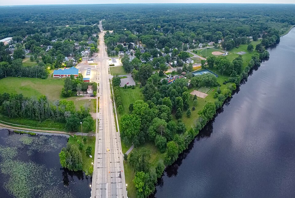 Centerpoint Marketplace MallStevens Point, WI · 2012Redeveloped · Redevelopment: education, new street
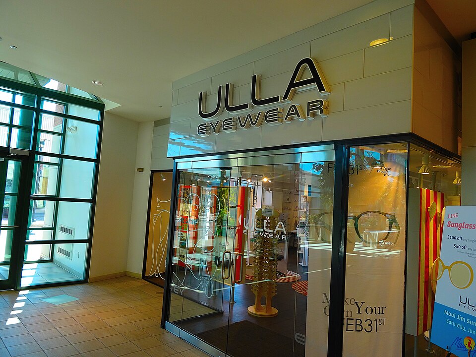 Hilldale Shopping CenterMadison, WI · 2006Partial Redeveloped · Partial redevelopment: mixed-use residential, streets
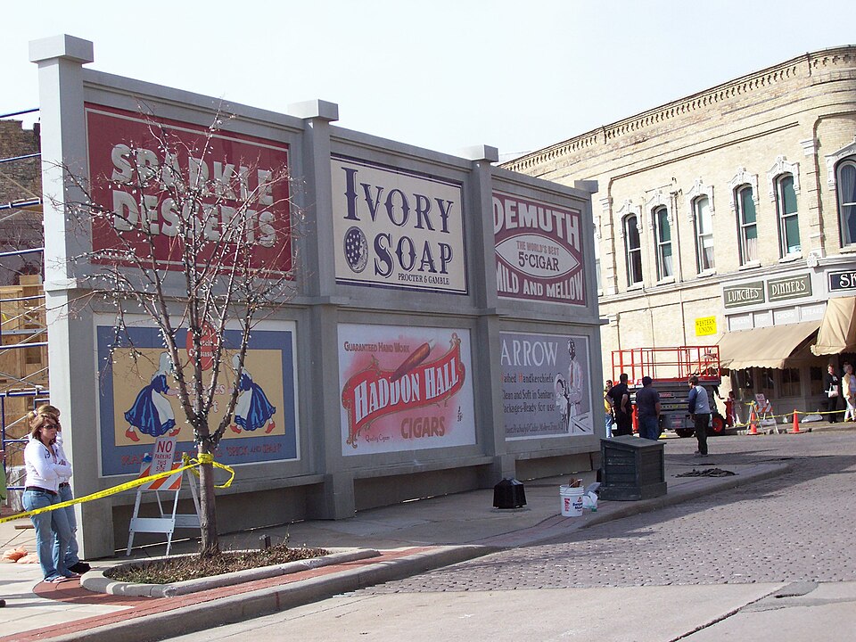 Park Plaza MallOshkosh, WI · 2001Reinhabited · Reinhabitation, officeParkland MallMuskego, WI · 2016Redeveloped · Redevelopment: retail and residential
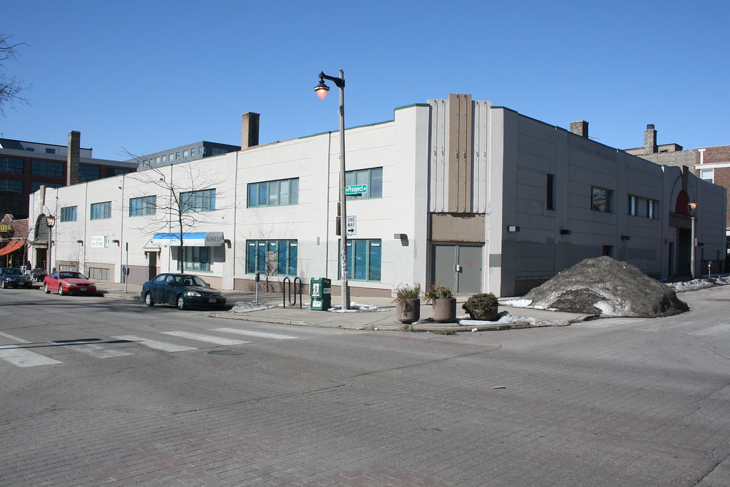 Prospect MallMilwaukee, WI · 2013Redeveloped · Redevelopment: mixed use residential
Centerpoint Marketplace MallStevens Point, WI · 2012Redeveloped · Redevelopment: education, new streetHilldale Shopping CenterMadison, WI · 2006Partial Redeveloped · Partial redevelopment: mixed-use residential, streetsPark Plaza MallOshkosh, WI · 2001Reinhabited · Reinhabitation, officeParkland MallMuskego, WI · 2016Redeveloped · Redevelopment: retail and residentialProspect MallMilwaukee, WI · 2013Redeveloped · Redevelopment: mixed use residential