Other · Maryland
Brown's Arcade
Historic 1904 Baltimore arcade operates as retail/office space amid county population decline, ownership and site specifics unclear for future planning. · summary, model-written
Solid = from the authors' map · outlined = public source · dashed = model-written, not yet reviewed by a person. Tap any value's source label to see where it came from. documented = a quoted excerpt (click to read it) · reported = a source named, no excerpt yet · no source.
Site profile18 elements · what this retrofit is built with · tap a chip for the evidence
100k+ jobs within 45 min by transit
This site: 1,000,314 epa-walkability · all sites with this15-minute neighbourhood (5+ of 6 daily needs within 800 m)
This site: 6/6 openstreetmap · all sites with this200+ tax-credit housing units within 1 km
This site: 1,453 units in 14 properties hud-lihtc · all sites with this3+ other atlas sites within 10 km
This site: 8 within 10 km computed · all sites with this30,000+ vehicles a day on an adjacent road
This site: 54,143 on 83 fhwa-hpms · all sites with thisBike network nearby
This site: 213 ways openstreetmap · all sites with thisCounty lost 10%+ of retail establishments since 2012
This site: -13% census-cbp · all sites with thisGrocery within 800 m
This site: 17 stores openstreetmap · all sites with thisHigh heat wave risk
This site: Relatively High fema-nri · all sites with thisInterstate or freeway within 600 m
This site: 83 fhwa-hpms · all sites with thisNational Register place within 500 m
This site: Battle Monument; Brown's Arcade nps-nrhp · all sites with thisOpportunity Zone
This site: 24510040100 hud-oz · all sites with thisRenter-majority tract
This site: 95% census-acs · all sites with thisShrinking county
This site: -6.1% census-acs · all sites with thisTract population up 25%+ since 2013
This site: +85% census-acs · all sites with thisWalkable block group (EPA ≥ 12)
This site: …index 19.7 epa-walkability · all sites with thisOffice
This site: …historic retail and office building extraction · all sites with thisRetail (continued)
This site: …historic retail and office building extraction · all sites with thisNow
| Status | Operatingextracted, unreviewed documentedBrown's Arcade is a historic retail and office building located in Baltimore, Maryland, United States. |
|---|---|
| What is there now | historic retail and office buildingextracted, unreviewed documentedBrown's Arcade is a historic retail and office building located in Baltimore, Maryland, United States. |
Site context
| FEMA flood zone | X · AREA OF MINIMAL FLOOD HAZARDFEMA NFHL |
|---|---|
| EPA-regulated facilities within 500 m | 61: AMERICAN TRADING REAL ESTATE; AMOCO LUBE OIL PLANT; ARUNDEL CORPORATION; BALTIMORE CITYCOURTHOUSE EAST; BALTIMORE LEADERSHIP SCHOOL FOR YOUNG WOMENEPA FRS |
| Census tract 24510040100 | 6,359 people, 13,845 per sq mi; median household income $70,297; median gross rent $1,784; 95% renters; 8.7% vacant units; 6.0% commute by transitACS 2023 5-year |
| Walkability (EPA, block group) | index 19.7 of 20; 335 intersections per sq mi; nearest transit stop 72 m; land-use mix 0.79; 199,548 jobs within 45 min by car, 1,000,314 by transit; 42% of households without a carEPA Smart Location |
| Within a 10–15 minute walk (800 m) | 6 of 6 daily needs: 17 grocers, 12 schools, 32 parks or playgrounds, 16 health, 23 civic, 137 food and drink; 213 cycleway segments, 669 sidewalk-tagged segmentsOpenStreetMap |
| Opportunity Zone | yes, tract 24510040100 (rural)HUD |
| National Register places within 500 m | 15: Battle Monument; Brown's Arcade; Paca Street Firehouse; Brewers ExchangeNPS |
| Housing permits, Baltimore (Independent City) (MD), 2024 | 1,104 units in 5+ unit buildings, 4 in 2–4, 165 single-family; 2023: 1,749 in 5+Census BPS |
| Social vulnerability (CDC SVI 2022, tract) | overall percentile 0.45; socioeconomic 0.47; housing and transport 0.80; 23% below 150% of poverty; 26% of households with no vehicleCDC/ATSDR |
| Other atlas sites nearby | 8 within 10 km, 22 within 25 km: Village of Cross Keys (0.5 km); The Brokerage (0.8 km); The Gallery at Harborplace (0.9 km); The Fishmarket (0.9 km); Old Town Mall (1.1 km)computed |
| Overture Maps | no place match; building footprint 6,106 m², 11.266966819763184 mOverture (CDLA-Permissive 2.0) |
| Attention: Wikipedia page views | 5,268 since 2015; 438 in the last 12 months (+18% vs the prior 12); peak 2018-03 with 110Wikimedia |
| Tract change 2013–2023 | population +85% (3,435 → 6,359); median income +45% ($48,420 → $70,297); renters 93% → 95%; median home value +16% ($259,700 → $302,600)Census ACS 5-year |
| Natural hazard risk (FEMA National Risk Index, tract) | relatively moderate overall (score 66.2); expected annual loss $2.9M; high: heat wave; community resilience relatively highFEMA NRI |
| Tax-credit housing within 1 km | 14 LIHTC properties, 1,453 units: Westminster House Apartments (283 units); Basilica Place Apartments (200 units); Chase House (189 units)HUD LIHTC |
| Retail trade in the county, 2025 (BLS QCEW) | 13,104 jobs in 1,601 establishments; average annual pay $42,095; employment location quotient 0.38; employment -2.8% on the yearBLS QCEW 2025, NAICS 44-45, private |
| Jobs located in the tract, 2022 | 50,490 jobs; 944 in retail trade, 2,068 in accommodation and food (workplace blocks summed to tract 24510040100)Census LEHD LODES8 WAC 2022 |
| Upward mobility (Opportunity Atlas, 2010 tract) | children of low-income (25th percentile) families reached the 36th income percentile as adults; 2.8% incarcerated at the 2010 count (63 children in the sample); born 1978–83, measured 2014–15Opportunity Insights |
| Food access (USDA FARA 2019, 2010 tract) | not a low-access tract at 1 mile; poverty rate 19.8%; median family income $71,392; 121 SNAP householdsUSDA ERS |
| Schools | Baltimore City Public Schools (PK-12); 12 public schools within 1 mile: Booker T. Washington Middle; Furman Templeton Preparatory Academy; Johnston Square Elementary; Paul Laurence Dunbar HighNCES EDGE |
| Elevation | 95 ft above sea level at the site pointUSGS 3DEP |
| Storm events in the county, 2016-2025 | 64 county-logged events: 34 thunderstorm wind, 13 flash flood, 6 flood, 6 hail; $6,692,000 property damage reported; 2 direct deaths; forecast-zone events (most flood, winter and heat) not countedNOAA Storm Events |
| Homes for sale in ZIP 21201, 2026-09 | median list price $260,500 (-6.7% on the year); 46 active listings; median 79 days on market; 29% with a price cutRealtor.com Research |
| Retail trade in the county, 2012 to 2023 | 1,598 establishments (-13%); 23,927 jobs (+39%)Census CBP |
| Housing market in the county | typical home value $181,356 (-4% 1 yr, +6% 5 yr); typical rent $1,764/mo (+4% 1 yr), 2026-09Zillow Research |
| Traffic on the busiest road within 600 m (2024) | 54,143 vehicles a day on 83 (Interstate, 5 lanes); 899 trucks; 33 counted segmentsFHWA HPMS |
Summary, model-written
Opened in 1904 as a market, Brown's Arcade was redesigned by architect Henry F. Brauns into a Colonial Revival arcade with shops and offices above a central walkway. It continues to operate today as a historic retail and office building.
Why. The record cites a 6.1% population decline in the surrounding county from 2018 to 2023 as a factor affecting opportunity; no specific anchor losses, debt, or demolition are mentioned.
Where it stands. The arcade is currently operating as a historic retail and office building, though the record does not specify its owner or controlling entity.
For a planner
- Potential candidate for historic preservation tax credits and adaptive reuse incentives.
- Zoning may support mixed-use retail/office continuation given its existing use.
- Open question: how to sustain foot traffic amid ongoing county population loss.
For a developer
- Site size and parcel boundaries are not provided in the record.
- Ownership/control details and current entitlement status are unspecified.
- No flood, transit, or environmental constraints are noted; market signal indicated by county population decline of -6.1% 2018‑2023.
What we do not know yet
- Exact parcel size, lot dimensions, and building square footage are missing.
- Current ownership, lease structure, and any existing mortgages or liens are not stated.
- Recent renovations, code compliance status, and historic designation details are absent.
- Zoning classification, flood‑plain status, transit access, and environmental conditions are not recorded.
- The record is marked as draft with extraction‑based origins, so some facts may be unverified.
Generated by nvidia/nemotron-3-super-120b-a12b on NVIDIA API via Hermes CT from the fields, parcels, deals and context layers on this page, with no outside knowledge. It is regenerated when the record changes and has not been checked by a person. How it is made.
Elsewhere on the web
Pages with photos
- Brown's Arcade - Wikipedia en.wikipedia.org
- Brown's Arcade Garage at Dane Lott blog storage.googleapis.com
- Brown's Arcade - 322-326 North … flickr.com
- Brown's Arcade - 322 N Charles St, Baltimore, MD | H… homes.com
- Brown's Arcade - 322 N Charles St Baltimore, MD | Apartments.com apartments.com
- Brown's Arcade Garage | Baltimore, MD | EV Station plugshare.com
- GL Capital's $2.5 million redo of Brown's Arcade in Mount Vernon will ... bizjournals.com
- Brown's Arcade: MD-PACE Case Study for Historic Preservation & Adaptive ... youtube.com
Search images: Google · Bing · Commons · references: ULI case studies · Google Scholar
Multifamily screen
- county shrank -6.1% 2018–23
Inputs: record fields (size, status) and county Census ACS 2018–2023 figures (growth, rent). How the points work. Not a recommendation.
History and original facts
| Opened | 1904extracted, unreviewed |
|---|---|
| Architect | Henry F. Brauns |
| County | Baltimore city |
| Census division | 5 · South Atlantic |
| Notes | Wikipedia categories: Defunct shopping malls in the United States |
Not yet recorded: acres, GLA, original developer, retrofit year. Know it? Tell us.
Background
Brown's Arcade is a historic retail and office building located in Baltimore, Maryland, United States. It consists of four early 19th century brick rowhouses. Architect Henry F. Brauns redesigned a row of four, three-story buildings in 1904 into the original Brown's Arcade, with the application of Colonial Revival details over the original Federal-style façade. It was converted to a series of small shops; bordering a straight central walkway with offices above. The rear courtyard contains two-story brick structures with shed roofs and a two-story Renaissance Revival style structure.
Excerpt from Wikipedia (authors and history), CC BY-SA 4.0. May be older than the record above.
Timeline
- 1904 Architect Henry F. Brauns redesigned a row of four, three-story buildings in 1904 into the original Brown's Arcade
Sources
- Wikipedia: Brown's Arcade (original arcade) · supports: after notes, status, year opened
4 quoted sentences
Architect Henry F. Brauns redesigned a row of four, three-story buildings in 1904 into the original Brown's Arcade
Brown's Arcade is a historic retail and office building located in Baltimore, Maryland, United States.
Brown's Arcade is a historic retail and office building located in Baltimore, Maryland, United States.
Architect Henry F. Brauns redesigned a row of four, three-story buildings in 1904 into the original Brown's Arcade
More in Maryland
 Columbia MallColumbia, MD · 2012Partial Redeveloped · Partial redevelopment, mixed use From Vision to Reality:…
 Francis Scott Key MallFrederick, MDPartial Regreened · Partial regreening, solar roof
 Laurel MallLaurel, MD · 2015Redeveloped · Redevelopment: mixed use, new streetsMarley Station MallBaltimore, MD · 2013Partial Reinhabited · Partial reinhabitation: data center
 Parole PlazaAnnapolis, MD · 2009Redeveloped · Redevelopment: mixed use
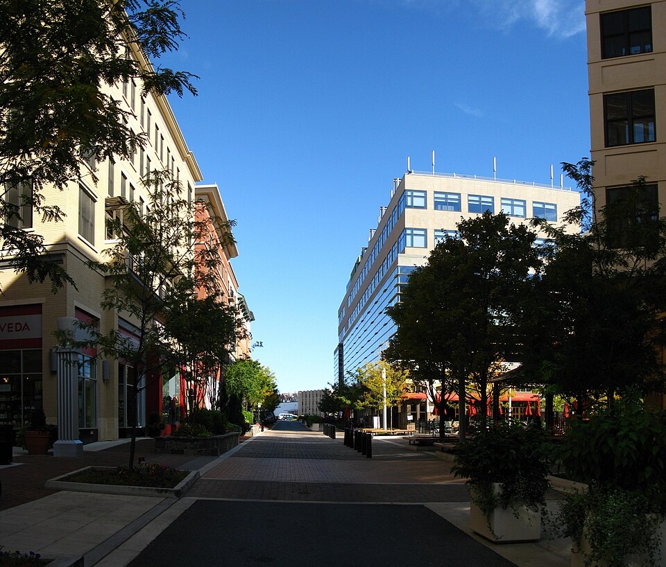 Rockville MallRockville, MD · 2008Redeveloped · Redevelopment: mixed use, new streets