Other · England
Industrial/Business Units at Old Sarum Airfield
Reinhabited WWII airfield now hosts industrial/office/retail units; peer projects share strategy but no deal details or parcel data in record. · summary, model-written
More
Solid = from the authors' map · outlined = public source · dashed = model-written, not yet reviewed by a person. Tap any value's source label to see where it came from. documented = a quoted excerpt (click to read it) · reported = a source named, no excerpt yet · no source.
Site profile4 elements · what this site is built with · tap a chip for the evidence
Reinhabited
This site: Industrial/business units, modern warehouses, office blocks, car showrooms record · all sites with thisLogistics and industrial
This site: Industrial/business units, modern warehouses, office blocks, car showr newtypes-extraction · all sites with thisOffice
This site: Industrial/business units, modern warehouses, office blocks, car showrooms newtypes-extraction · all sites with thisRetail (continued)
This site: …new_use field newtypes-extraction · all sites with thisNow
| Status | Retrofit builtnewtypes-extraction reported |
|---|---|
| Strategy | ReinhabitedWikipedia no source |
| New uses | industrial, office, retailWikipedia no source |
| What is there now | Industrial/business units, modern warehouses, office blocks, car showroomsnewtypes-extraction reported |
Links out
Every link is built from an id this record holds (parcel number, filer CIK, Wikidata item, Census tract, coordinates) or from the name and city typed into a search. Nothing here is a guessed address. Search links are marked search in their source note; commercial listing links are marked for search engines not to follow. Hover a link for why it is here.
Reference (4)
encyclopedic and research references
- Wikipedia articlefrom en.wikipedia.org
- Wikidata item Q3915612from wikidata.org
- Wikimedia Commons photos within 500 mfrom commons.wikimedia.org
- Retrofitting Suburbia (book site)from retrofittingsuburbia.com
Place (8)
map and street views by coordinates
- Google Mapsfrom google.com
- Street Viewfrom google.com
- Bing Mapsfrom bing.com
- Apple Mapsfrom maps.apple.com
- OpenStreetMapfrom openstreetmap.org
- Walk Score at this pointfrom walkscore.com
- Transitland mapfrom transit.land
- USGS National Mapfrom apps.nationalmap.gov
News (2)
news searches and archived pages
History and original facts
| Notes | Draft from Wikipedia, model-extracted, unreviewed: Former WWI and WWII airfield buildings reinhabited as industrial/business units, warehouses, office blocks, and car showrooms at Old Sarum Airfield. |
|---|
Not yet recorded: acres, GLA, year opened, original developer, retrofit year. Know it? Tell us.
Planning
| No zoning change, subsidy or policy tool recorded for this site. |
Summary, model-written
Reinhabited as industrial/office/retail uses on former WWII airfield buildings. Modern warehouses, offices, and car showrooms now occupy the site.
Why. Strategy: 'reinhabit' (same as peer projects like Lifeline Data Center).
Where it stands. Status: built. Adjacent areas include residential (Throgmorton Hall) and industrial sites. No parcel or deal details provided in record.
For a planner
- No context on zoning changes or community impact.
- Peer projects share 'reinhabit' strategy but no performance data.
For a developer
- Current uses align with new_use fields. No financial or occupancy data available.
What we do not know yet
- No parcel boundaries or deal terms documented.
- No indication of whether retail component is operational or planned.
Generated by qwen3-30b-a3b-64k:latest on Dell 5820 RTX 3090 (Ollama, qwen3-30b-a3b) from the fields, parcels, deals and context layers on this page, with no outside knowledge. It is regenerated when the record changes and has not been checked by a person. How it is made.
Similar sites
- Lifeline Data Center, Indianapolis, IN · Other · same strategy: reinhabit
- Furniture Store, Norcross, GA · Other · same strategy: reinhabit
- 100 Oaks Mall, Nashville, TN · Malls · same strategy: reinhabit
- Buford Clairmont Mall, Chamblee, GA · Malls · same strategy: reinhabit
Elsewhere on the web
Search images: Google · Bing · Commons · references: ULI case studies · Google Scholar
Background
Old Sarum Airfield (ICAO: EGLS) is a grass strip airfield 2 miles (3.2 kilometres)} north-north-east of Salisbury, in Laverstock parish, Wiltshire, England. The adjacent areas are a mix of vacant land, residential and industrial sites. Residential areas lie to the south and east, occupying the old airfield married quarters and officers' mess, now known as Throgmorton Hall.
Excerpt from Wikipedia (authors and history), CC BY-SA 4.0. May be older than the record above.
Sources
- Old Sarum Airfield · CC BY-SA 4.0
1 quoted sentence
Industrial/business units
More in England
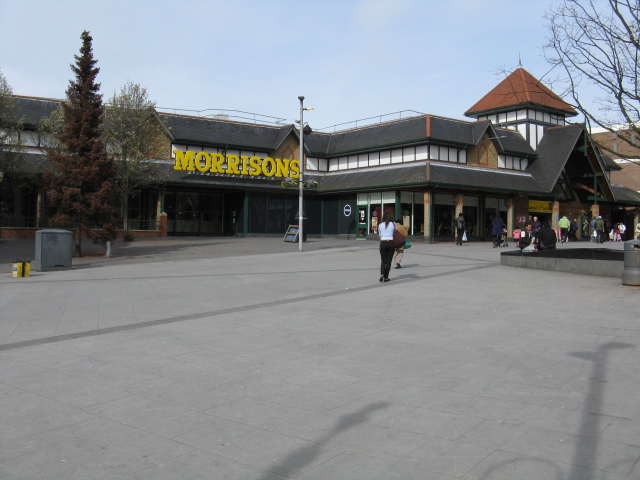 Acton Golf ClubActon, EnglandRedeveloped · redeveloped for housingBamford International Farm Machinery siteUttoxeter, EnglandRedeveloped · Demolished buildings, site yet to be redeveloped.
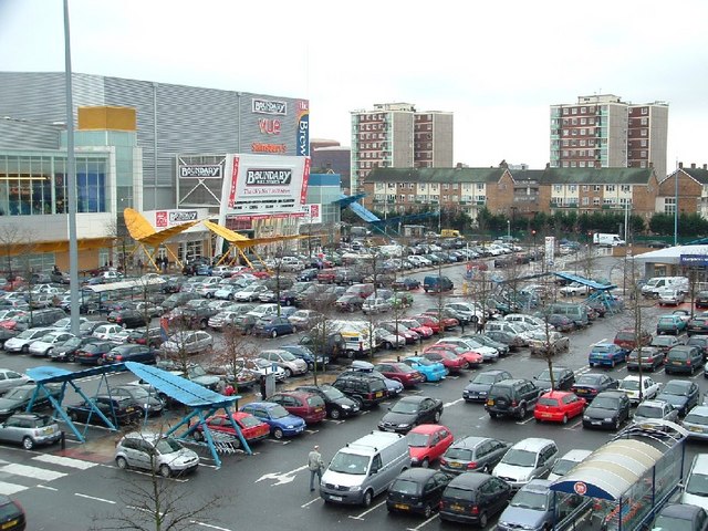 BreweryRomford, England · 2001Redeveloped · a shopping and leisure centreCardington Airfield (Bellway Homes development)Cardington, EnglandRedevelopment, under construction · 1000 new homes on the siteChiswick Class MA conversionChiswick, EnglandReinhabitation, approved · A secondary mews location proved decisive as the Inspector found that…