Garden apartments · Australia
Campsie
Proposed 1960s apartment conversion to housing via 'reinhabit' strategy; proximity to 4 nearby centers noted, but no approval status or density metrics provided. · summary, model-written
More
Solid = from the authors' map · outlined = public source · dashed = model-written, not yet reviewed by a person. Tap any value's source label to see where it came from. documented = a quoted excerpt (click to read it) · reported = a source named, no excerpt yet · no source.
Site profile4 elements · what this site is built with · tap a chip for the evidence
Retrofit in the pipeline
This site: …proposed newtypes-extraction · all sites with this3+ other atlas sites within 10 km
This site: 4 within 10 km computed · all sites with thisReinhabited
This site: …subtle densification that could transform and preserve Campsie and the neighbouring suburbs of Belmore, Punchbowl and Earlwood record · all sites with thisHousing
This site: …new_use field newtypes-extraction · all sites with thisNow
| Status | Retrofit proposednewtypes-extraction reported |
|---|---|
| Strategy | Reinhabitation, proposedWikipedia no source |
| New uses | housingWikipedia no source |
| What is there now | subtle densification that could transform and preserve Campsie and the neighbouring suburbs of Belmore, Punchbowl and Earlwoodnewtypes-extraction reported |
Links out
Every link is built from an id this record holds (parcel number, filer CIK, Wikidata item, Census tract, coordinates) or from the name and city typed into a search. Nothing here is a guessed address. Search links are marked search in their source note; commercial listing links are marked for search engines not to follow. Hover a link for why it is here.
Reference (2)
encyclopedic and research references
- Wikimedia Commons photos within 500 mfrom commons.wikimedia.org
- Retrofitting Suburbia (book site)from retrofittingsuburbia.com
Place (8)
map and street views by coordinates
- Google Mapsfrom google.com
- Street Viewfrom google.com
- Bing Mapsfrom bing.com
- Apple Mapsfrom maps.apple.com
- OpenStreetMapfrom openstreetmap.org
- Walk Score at this pointfrom walkscore.com
- Transitland mapfrom transit.land
- USGS National Mapfrom apps.nationalmap.gov
News (2)
news searches and archived pages
- Google News: “Campsie” (search)from name search
- Bing News: “Campsie” (search)from name search
History and original facts
| Notes | Draft from theconversation.com, model-extracted, unreviewed: The 1960s walk-up apartment blocks in Campsie are proposed for subtle densification to increase housing density while preserving neighbourhood character. |
|---|
Not yet recorded: acres, GLA, year opened, original developer, retrofit year. Know it? Tell us.
Planning
| No zoning change, subsidy or policy tool recorded for this site. |
Site context
| Other atlas sites nearby | 4 within 10 km, 16 within 25 km: Westfield Shoppingtown Burwood (4.4 km); Addison Rd Centre for the Arts, Culture, Community and Environment (4.9 km); Harbourside Shopping Centre (10.0 km); Eastlakes Shopping Centre (10.0 km)computed |
|---|
Summary, model-written
Proposed transformation of a 1960s walk-up apartment block (Campsie) into housing via 'reinhabit' strategy. Current status: proposed (verified as draft).
Why. Context shows proximity to 4 centers within 10km (e.g., Westfield Burwood 4.4km, Addison Rd Centre 4.9km). Peer examples include similar 'reinhabit' projects (e.g., Addison Rd Centre 5km away, Dunbar Apartments NYC).
Where it stands. No approval status or timeline provided. 'After_notes' describes 'subtle densification' but lacks specifics on scale or impact. Verified as draft; no current planning approvals noted.
For a planner
- Proximity to existing centers (Burwood, Addison Rd) may support integration. No details on zoning or community feedback.
For a developer
- No cost, timeline, or regulatory hurdles identified. Peer examples show similar strategy but distances vary (5km–22km).
- Unknown if 'subtle densification' aligns with local density targets.
What we do not know yet
- Status is 'proposed' with no confirmation of planning approval. 'After_notes' lacks measurable outcomes (e.g., units, density increase). No data on current occupancy or market demand.
Generated by qwen3-30b-a3b-64k:latest on Dell 5820 RTX 3090 (Ollama, qwen3-30b-a3b) from the fields, parcels, deals and context layers on this page, with no outside knowledge. It is regenerated when the record changes and has not been checked by a person. How it is made.
Similar sites
- Grace Bros. complex, Sydney · Malls · same strategy: reinhabit; 11 km away
- Westfield Warringah Mall, Brookvale · Malls · same strategy: reinhabit; 22 km away
- Addison Rd Centre for the Arts, Culture, Community and Environment, Marrickville · Other · same strategy: reinhabit; 5 km away
- Dunbar Apartments, New York City, NY · Garden apartments · same strategy: reinhabit
Elsewhere on the web
Search images: Google · Bing · Commons · references: ULI case studies · Google Scholar
Sources
More in Australia
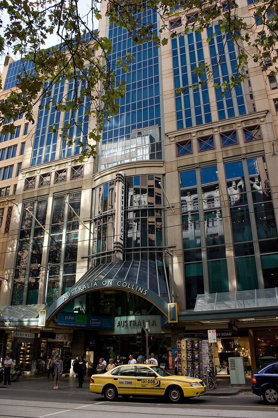 Australia on CollinsMelbourne, AustraliaOperatingBellfield Primary SchoolIvanhoe, Australia · 2013Redeveloped · The housing development by Stockland was built on the site.Brenan ParkSmithfield, AustraliaRedevelopment, proposed
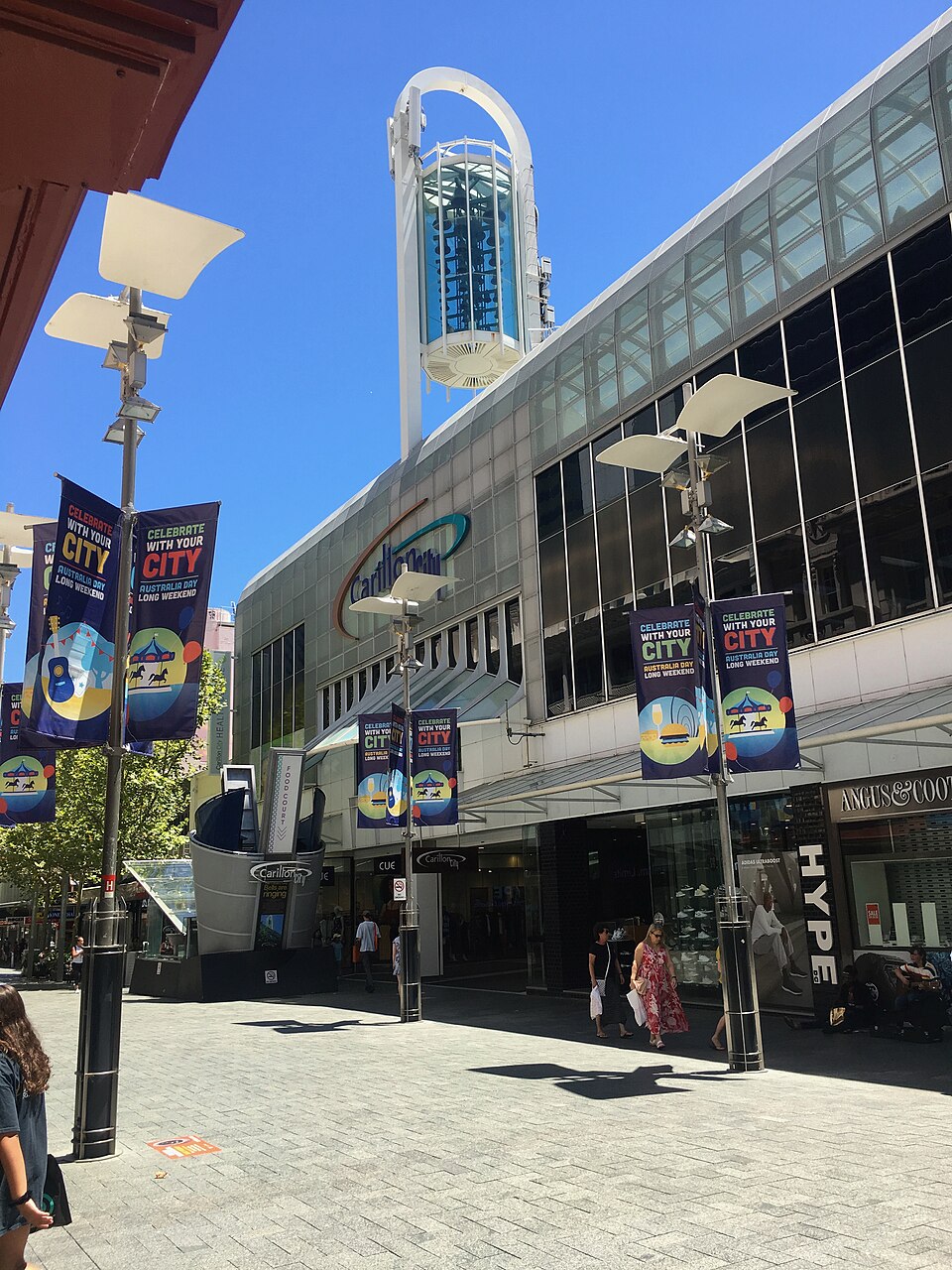 Carillon CityPerth, AustraliaPartial Redeveloped · As of April 2025, the centre sits mostly empty, except for a few…