Malls · Massachusetts
New Seabury Shopping Center
New Seabury Shopping Center opened 1986 as an early new‑urbanist mall on Cape Cod; current status and ownership unknown today. · summary, model-written
More
Solid = from the authors' map · outlined = public source · dashed = model-written, not yet reviewed by a person. Tap any value's source label to see where it came from. documented = a quoted excerpt (click to read it) · reported = a source named, no excerpt yet · no source.
Site profile4 elements · what this site is built with · tap a chip for the evidence
15-minute neighborhood (5+ of 6 daily needs within 800 m)
This site: 6/6 openstreetmap · all sites with thisBike network nearby
This site: 27 ways openstreetmap · all sites with thisCounty typical rent $2,000+
This site: $2,578/mo zillow · all sites with thisGrocery within 800 m
This site: 4 stores openstreetmap · all sites with thisNow
| Status | Status not verifiedWikipedia reported |
|---|
Links out
Every link is built from an id this record holds (parcel number, filer CIK, Wikidata item, Census tract, coordinates) or from the name and city typed into a search. Nothing here is a guessed address. Search links are marked search in their source note; commercial listing links are marked for search engines not to follow. Hover a link for why it is here.
Official records (5)
government and regulatory records for this site, built from ids on the record
- Census tract 25001015100 profile (data.census.gov)from data.census.gov
- Census tract 25001015100 on Census Reporterfrom censusreporter.org
- Barnstable County (25001) profile (data.census.gov)from data.census.gov
- FEMA flood map (NFHL) at this point (search)from msc.fema.gov
- EPA ECHO facilities within 1 milefrom echo.epa.gov
Reference (4)
encyclopedic and research references
- Wikipedia articlefrom en.wikipedia.org
- Wikimedia Commons photos within 500 mfrom commons.wikimedia.org
- Retrofitting Suburbia (book site)from retrofittingsuburbia.com
- Mashpee, Massachusetts on Wikipediafrom en.wikipedia.org
Place (8)
map and street views by coordinates
- Google Mapsfrom google.com
- Street Viewfrom google.com
- Bing Mapsfrom bing.com
- Apple Mapsfrom maps.apple.com
- OpenStreetMapfrom openstreetmap.org
- Walk Score at this pointfrom walkscore.com
- Transitland mapfrom transit.land
- USGS National Mapfrom apps.nationalmap.gov
Market (1)
listings and owner pages; commercial, so search engines are told not to follow
- LoopNet: for sale in Mashpee, MA (search)from city search
News (2)
news searches and archived pages
- Google News: “New Seabury Shopping Center” (search)from name search
- Bing News: “New Seabury Shopping Center” (search)from name search
History and original facts
| Original developer | Cornish Development Associateshermes-web reported |
|---|---|
| Architect | Duany Plater-Zyberk & Company |
| County | Barnstable County |
| Census division | 1 · New England |
| Notes | Wikipedia categories: Defunct shopping malls in the United States |
Not yet recorded: acres, GLA, year opened, what is there now, retrofit year. Know it? Tell us.
Planning
| No zoning change, subsidy or policy tool recorded for this site. |
Site context
| Transit within 800 m | no rail station; 3 bus stops within 400 mOpenStreetMap |
|---|---|
| FEMA flood zone | X · AREA OF MINIMAL FLOOD HAZARDFEMA NFHL |
| EPA-regulated facilities within 500 m | 10: ANN TAYLOR; CAPE COD PHOTO & ART SUPPLY; CVS 1253; CVS PHARMACY 1253; HOMEGOODS 0801EPA FRS |
| Census tract 25001015100 | 4,080 people, 635 per sq mi; median household income $88,048; median gross rent $2,120; 14% renters; 28.3% vacant units; 0.8% commute by transitACS 2023 5-year |
| Walkability (EPA, block group) | index 9.0 of 20; 25 intersections per sq mi; no transit stop within the EPA search radius; land-use mix 0.89; 5,744 jobs within 45 min by car; 5% of households without a carEPA Smart Location |
| Within a 10–15 minute walk (800 m) | 6 of 6 daily needs: 4 grocers, 1 schools, 153 parks or playgrounds, 1 health, 4 civic, 24 food and drink; 27 cycleway segments, 134 sidewalk-tagged segmentsOpenStreetMap |
| Opportunity Zone | noHUD |
| Housing permits, Barnstable County (MA), 2024 | 178 units in 5+ unit buildings, 32 in 2–4, 430 single-family; 2023: 104 in 5+Census BPS |
| Social vulnerability (CDC SVI 2022, tract) | overall percentile 0.29; socioeconomic 0.22; housing and transport 0.52; 13% below 150% of poverty; 12% of households with no vehicleCDC/ATSDR |
| Other atlas sites nearby | 0 within 10 km, 1 within 25 kmcomputed |
| Overture Maps | no place match; building footprint 4,938 m²Overture (CDLA-Permissive 2.0) |
| Attention: Wikipedia page views | 24,743 since 2015; 1,763 in the last 12 months (-4% vs the prior 12); peak 2015-08 with 427Wikimedia |
| Tract change 2013–2023 | population +2% (3,992 → 4,080); median income +42% ($61,823 → $88,048); renters 20% → 14%; median home value +54% ($330,800 → $507,800)Census ACS 5-year |
| Natural hazard risk (FEMA National Risk Index, tract) | relatively low overall (score 47.4); expected annual loss $1.5M; community resilience very highFEMA NRI |
| Tax-credit housing within 1 km | noneHUD LIHTC |
| Retail trade in the county, 2025 (BLS QCEW) | 14,431 jobs in 1,310 establishments; average annual pay $46,006; employment location quotient 1.51; employment -0.9% on the yearBLS QCEW 2025, NAICS 44-45, private |
| Jobs located in the tract, 2022 | 2,834 jobs; 754 in retail trade, 446 in accommodation and food (workplace blocks summed to tract 25001015100)Census LEHD LODES8 WAC 2022 |
| Upward mobility (Opportunity Atlas, 2010 tract) | children of low-income (25th percentile) families reached the 47th income percentile as adults; 1.4% incarcerated at the 2010 count (340 children in the sample); born 1978–83, measured 2014–15Opportunity Insights |
| Food access (USDA FARA 2019, 2010 tract) | low-access at 1 mile, not low-income; 32% of residents more than 1 mile from a supermarket; poverty rate 8.9%; median family income $103,542; 67 SNAP householdsUSDA ERS |
| Schools | Mashpee School District (PK-12); 3 public schools within 1 mile: Mashpee Middle-High School; Quashnet School; Kenneth Coombs SchoolNCES EDGE |
| Elevation | 43 ft above sea level at the site pointUSGS 3DEP |
| Storm events in the county, 2016-2025 | 116 county-logged events: 51 thunderstorm wind, 26 flood, 15 flash flood, 12 lightning; $8,887,400 property damage reported; forecast-zone events (most flood, winter and heat) not countedNOAA Storm Events |
| Homes for sale in ZIP 02649, 2026-09 | median list price $738,000 (+2.9% on the year); 119 active listings; median 54 days on market; 19% with a price cutRealtor.com Research |
| Retail trade in the county, 2012 to 2023 | 1,402 establishments (-7%); 14,940 jobs (+6%)Census CBP |
| Housing market in the county | typical home value $757,449 (+3% 1 yr, +30% 5 yr); typical rent $2,578/mo (+2% 1 yr), 2026-09Zillow Research |
| House price index, tract, 2025 | 381 (2000 = 100); +4.8% 1 yr, +62% 5 yr, +100% 10 yrFHFA |
| Traffic on the busiest road within 600 m (2024) | 18,726 vehicles a day (principal arterial, 2 lanes); 893 trucks; 29 counted segmentsFHWA HPMS |
Summary, model-written
New Seabury Shopping Center opened in 1986 and is described as an early example of new‑urbanist development on Cape Cod. The record does not provide further details about later changes, anchor tenants, or closures.
Why. not stated in the record
Where it stands. Current status is unknown and no owner or controlling entity is identified in the record.
For a planner
- Precedent: early new‑urbanist mall (opened 1986).
- Policy tools used: not specified.
- Open questions: current ownership, occupancy, zoning, and potential reuse or redevelopment pathways.
For a developer
- Site size: not specified.
- Control: unknown (no owner or deal information).
- Entitlement stage: not specified.
- Constraints from context layers: not specified (flood, transit, environment).
- Market signals: county grew 7.7% 2018‑2023; median rent $1,596.
What we do not know yet
- Exact site size and parcel boundaries are missing.
- Current ownership and control are unknown.
- Anchor tenant status and occupancy levels are not provided.
- Zoning, entitlements, and any existing deed restrictions are not described.
- Environmental or flood‑risk context layers are absent.
- The narrative excerpt references Mashpee Commons, creating possible confusion about the site’s identity.
Generated by nvidia/nemotron-3-super-120b-a12b on NVIDIA API via Hermes CT from the fields, parcels, deals and context layers on this page, with no outside knowledge. It is regenerated when the record changes and has not been checked by a person. How it is made.
Elsewhere on the web
Search images: Google · Bing · Commons · references: ULI case studies · Google Scholar
Multifamily screen
- county grew 7.7% 2018–23
- median rent $1,596
Inputs: record fields (size, status) and county Census ACS 2018–2023 figures (growth, rent). How the points work. Not a recommendation.
Background
Mashpee Commons is a lifestyle center located on Cape Cod in the town of Mashpee, Massachusetts. The center opened in 1986 and is considered to be an early example of new urbanist development.
Excerpt from Wikipedia (authors and history), CC BY-SA 4.0. May be older than the record above.
Sources
- found by hermes-web (staffboxfree)
3 quoted sentences
Developer – Cornish Development Associates
Architect – Duany Plater-Zyberk & Company
Field Point Corporation, owners of the New Seabury Shopping Center
More in Massachusetts
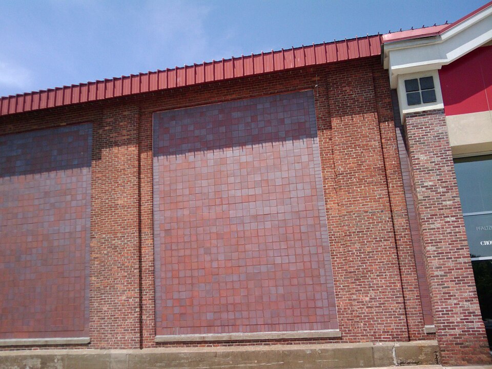 Arsenal MallWatertown, MA · 2016Redeveloped · Reinhabited · Reinhabitation: office, retail Redevelopment: residential, hotel
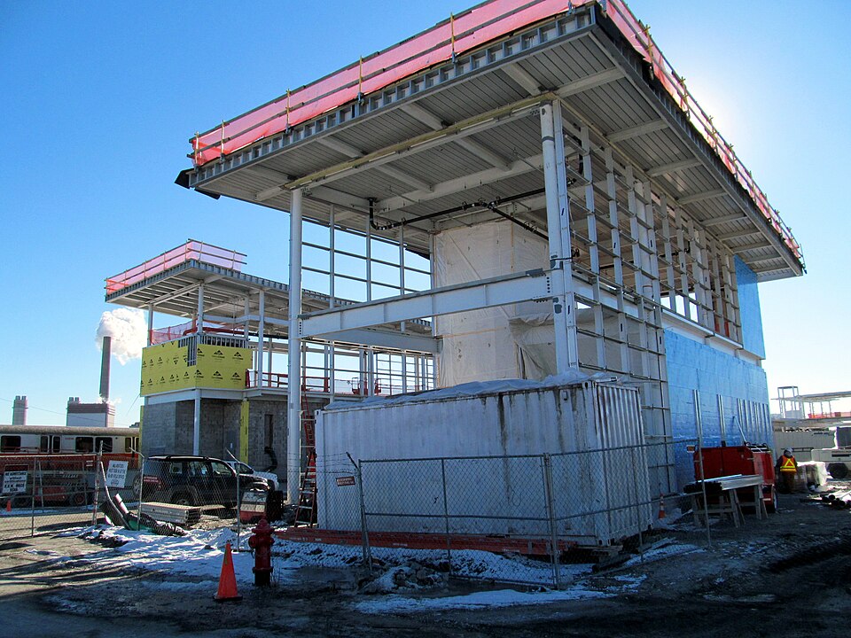 Assembly MallSomerville, MA · 2012Partial Redeveloped · Partial redevelopment, mixed use
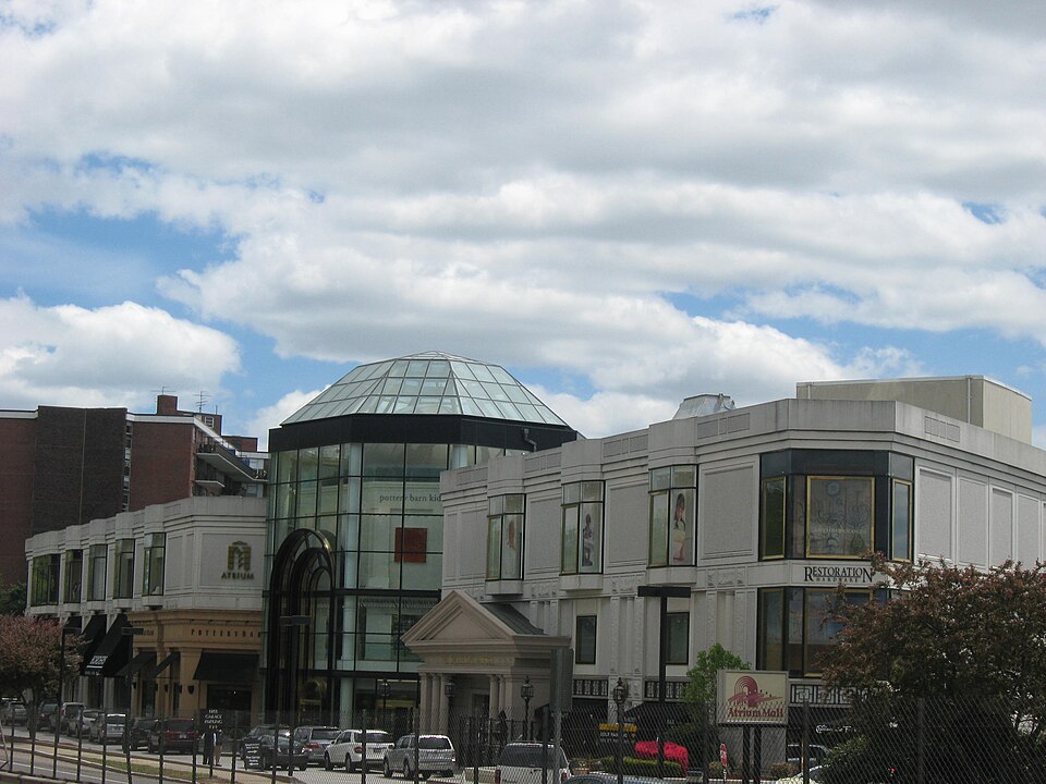 Atrium MallNewton, MA · 2016Reinhabited · Reinhabitation; fitness, medical office, transit shuttleLafayette Place MallBoston, MA · 1997Redeveloped · Reinhabited · Reinhabitation: mixed use and office Redevelopment: 3 additional…
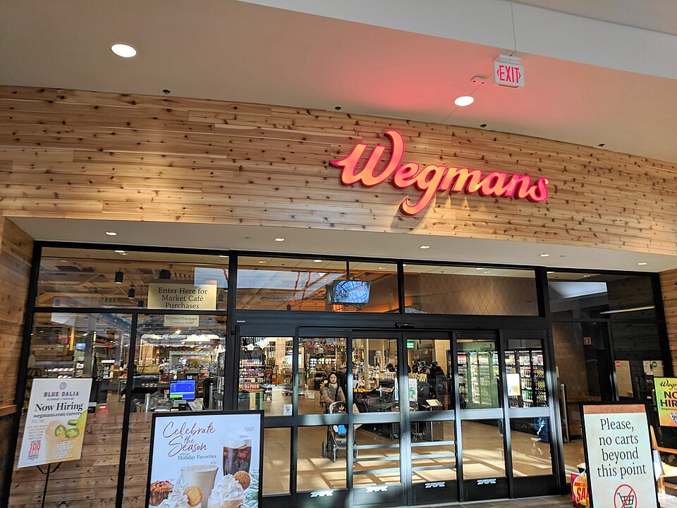 Nouvelle at NatickNatick, MA · 2007Partial Redeveloped · Regreened · Partial redevelopment: residential Partial regreening: green roofWorcester GalleriaWorcester, MA · 2010Redeveloped · Redevelopment: mixed use, new streets