Malls · California
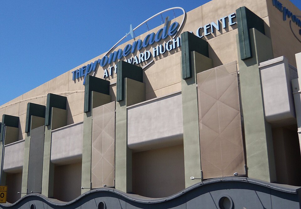
Westchester Promenade at Howard Hughes Center
Partial Redeveloped in 2017. · from the fields below
More
Solid = from the authors' map · outlined = public source · dashed = model-written, not yet reviewed by a person. Tap any value's source label to see where it came from. documented = a quoted excerpt (click to read it) · reported = a source named, no excerpt yet · no source.
Site profile19 elements · what this site is built with · tap a chip for the evidence
On Facebook
This site: …https://www.facebook.com/161565093856331 overture · all sites with thisWebsite alive
This site: …http://www.souplantation.com/ overture / http check · all sites with this100k+ jobs within 45 min by transit
This site: 768,631 epa-walkability · all sites with this15-minute neighbourhood (5+ of 6 daily needs within 800 m)
This site: 6/6 openstreetmap · all sites with this3+ other atlas sites within 10 km
This site: 3 within 10 km computed · all sites with this30,000+ vehicles a day on an adjacent road
This site: 45,227 on a counted road fhwa-hpms · all sites with thisBike network nearby
This site: 39 ways openstreetmap · all sites with thisCounty permitting 2,000+ apartment units a year
This site: 9,430 units, Los Angeles County census-bps · all sites with thisCounty typical rent $2,000+
This site: $2,806/mo zillow · all sites with thisGrocery within 800 m
This site: 2 stores openstreetmap · all sites with thisHigh earthquake risk
This site: Relatively High fema-nri · all sites with thisHigh inland flooding risk
This site: Relatively High fema-nri · all sites with thisHigh natural hazard risk (FEMA NRI)
This site: Relatively High; inland flooding, earthquake fema-nri · all sites with thisHigh-income tract ($100k+)
This site: $157,366 census-acs · all sites with thisLow social vulnerability tract (SVI ≤ 0.25)
This site: 0.12 cdc-svi · all sites with thisShrinking county
This site: -2.5% census-acs · all sites with thisWalkable block group (EPA ≥ 12)
This site: …index 14.8 epa-walkability · all sites with thisRedeveloped
This site: Partial redevelopment, open air retail and restaurants record · all sites with thisRetail (continued)
This site: Partial redevelopment, open air retail and restaurants arcgis-webmap · all sites with thisFrom the authors' map
CA, Los Angeles: Westchester Promenade at Howard Hughes Center, 2017
• Partial redevelopment, open air retail and restaurants
Now
| Status | Partly retrofittedauthors' map reported |
|---|---|
| Strategy | Partial Redevelopedauthors' map reported |
| What is there now | Partial redevelopment, open air retail and restaurantsauthors' map reported |
| Retrofit year | 2017authors' map reported |
Links out
Every link is built from an id this record holds (parcel number, filer CIK, Wikidata item, Census tract, coordinates) or from the name and city typed into a search. Nothing here is a guessed address. Search links are marked search in their source note; commercial listing links are marked for search engines not to follow. Hover a link for why it is here.
Official records (5)
government and regulatory records for this site, built from ids on the record
- Census tract 06037276000 profile (data.census.gov)from data.census.gov
- Census tract 06037276000 on Census Reporterfrom censusreporter.org
- Los Angeles County (06037) profile (data.census.gov)from data.census.gov
- FEMA flood map (NFHL) at this point (search)from msc.fema.gov
- EPA ECHO facilities within 1 milefrom echo.epa.gov
Reference (3)
encyclopedic and research references
- Wikimedia Commons photos within 500 mfrom commons.wikimedia.org
- Retrofitting Suburbia (book site)from retrofittingsuburbia.com
- Los Angeles on Wikipediafrom en.wikipedia.org
Place (8)
map and street views by coordinates
- Google Mapsfrom google.com
- Street Viewfrom google.com
- Bing Mapsfrom bing.com
- Apple Mapsfrom maps.apple.com
- OpenStreetMapfrom openstreetmap.org
- Walk Score at this pointfrom walkscore.com
- Transitland mapfrom transit.land
- USGS National Mapfrom apps.nationalmap.gov
Market (2)
listings and owner pages; commercial, so search engines are told not to follow
- LoopNet: for sale in Los Angeles, CA (search)from city search
- The site's own websitefrom sweettomatoes.com
News (3)
news searches and archived pages
- Google News: “Westchester Promenade at Howard Hughes Center” (search)from name search
- Bing News: “Westchester Promenade at Howard Hughes Center” (search)from name search
- Wayback Machine · www.souplantation.com (2001–2021)from web.archive.org
History and original facts
| County | Los Angeles County |
|---|---|
| Census division | 9 · Pacific |
Not yet recorded: acres, GLA, year opened, original developer. Know it? Tell us.
Planning
| No zoning change, subsidy or policy tool recorded for this site. |
Site context
| FEMA flood zone | X · AREA OF MINIMAL FLOOD HAZARDFEMA NFHL |
|---|---|
| EPA-regulated facilities within 500 m | 36: 5875 DOVERWOOD DR. UNIT 311; 5900 CENTER DR.; 6917 ARIZONA AVE; 7050 ARIZONA AVE; ALI ARSANEPA FRS |
| Census tract 06037276000 | 6,682 people, 7,401 per sq mi; median household income $157,366; median gross rent $3,140; 46% renters; 7.7% vacant units; 0.0% commute by transitACS 2023 5-year |
| Walkability (EPA, block group) | index 14.8 of 20; 78 intersections per sq mi; nearest transit stop 562 m; land-use mix 0.72; 378,074 jobs within 45 min by car, 768,631 by transit; 0% of households without a carEPA Smart Location |
| Within a 10–15 minute walk (800 m) | 6 of 6 daily needs: 2 grocers, 2 schools, 23 parks or playgrounds, 2 health, 3 civic, 13 food and drink; 39 cycleway segments, 197 sidewalk-tagged segmentsOpenStreetMap |
| Opportunity Zone | noHUD |
| Housing permits, Los Angeles County (CA), 2024 | 9,430 units in 5+ unit buildings, 1,273 in 2–4, 9,106 single-family; 2023: 13,214 in 5+Census BPS |
| Social vulnerability (CDC SVI 2022, tract) | overall percentile 0.12; socioeconomic 0.14; housing and transport 0.34; 8% below 150% of poverty; 2% of households with no vehicleCDC/ATSDR |
| Other atlas sites nearby | 3 within 10 km, 36 within 25 km: Baldwin Hills Crenshaw Plaza (6.2 km); Hawthorne Plaza (7.4 km); Westside Pavilion (8.0 km)computed |
| Overture Maps | place Howard Hughes Center (movie_theater, confidence 0.95, from Overture, Overture-signals, meta); building footprint 24,741 m²Overture (CDLA-Permissive 2.0) |
| Website and social | www.souplantation.com (alive); archived 2001–2021 (Wayback) · social: facebookOverture / Internet Archive |
| Tract change 2013–2023 | population +19% (5,620 → 6,682); median income +49% ($105,664 → $157,366); renters 25% → 46%; median home value +106% ($644,700 → $1,327,400)Census ACS 5-year |
| Natural hazard risk (FEMA National Risk Index, tract) | relatively high overall (score 88.9); expected annual loss $4.5M; high: inland flooding, earthquake; community resilience very lowFEMA NRI |
| Tax-credit housing within 1 km | noneHUD LIHTC |
| Retail trade in the county, 2025 (BLS QCEW) | 391,331 jobs in 28,960 establishments; average annual pay $52,235; employment location quotient 0.87; employment -1.7% on the yearBLS QCEW 2025, NAICS 44-45, private |
| Jobs located in the tract, 2022 | 4,991 jobs; 130 in retail trade, 416 in accommodation and food (workplace blocks summed to tract 06037276000)Census LEHD LODES8 WAC 2022 |
| Upward mobility (Opportunity Atlas, 2010 tract) | children of low-income (25th percentile) families reached the 50th income percentile as adults; 0.9% incarcerated at the 2010 count (252 children in the sample); born 1978–83, measured 2014–15Opportunity Insights |
| Food access (USDA FARA 2019, 2010 tract) | not a low-access tract at 1 mile; poverty rate 5.2%; median family income $149,038; 21 SNAP householdsUSDA ERS |
| Schools | Los Angeles Unified School District (KG-12); 4 public schools within 1 mile: Frank D. Parent TK-8; Cowan Avenue Elementary; Westport Heights Elementary; Orville Wright Engineering and Design MagnetNCES EDGE |
| Elevation | 54 ft above sea level at the site pointUSGS 3DEP |
| Storm events in the county, 2016-2025 | 157 county-logged events: 86 flash flood, 35 thunderstorm wind, 21 debris flow, 6 hail; $8,000 property damage reported; 1 direct deaths; forecast-zone events (most flood, winter and heat) not countedNOAA Storm Events |
| Homes for sale in ZIP 90045, 2026-09 | median list price $1,699,000 (+0.0% on the year); 66 active listings; median 49 days on market; 14% with a price cutRealtor.com Research |
| Retail trade in the county, 2012 to 2023 | 28,998 establishments (+2%); 419,890 jobs (+8%)Census CBP |
| Housing market in the county | typical home value $871,674 (+0% 1 yr, +13% 5 yr); typical rent $2,806/mo (+1% 1 yr), 2026-09Zillow Research |
| House price index, tract, 2024 | 2,650 (2000 = 100); -12.6% 1 yr, +17% 5 yr, +62% 10 yrFHFA |
| Traffic on the busiest road within 600 m (2024) | 45,227 vehicles a day (principal arterial, 9 lanes); 7,888 trucks; 13 counted segmentsFHWA HPMS |
Similar sites
- Westfield Topanga and The Village, Canoga Park, CA · Malls · same strategy: redevelop; also in CA; 31 km away
- Plaza Pasadena, Pasadena, CA · Malls · same strategy: redevelop; also in CA; 29 km away
- La Mirada Mall, La Mirada, CA · Malls · same strategy: redevelop; also in CA; 36 km away
- Long Beach Plaza, Long Beach, CA · Malls · same strategy: redevelop; also in CA; 30 km away
Elsewhere on the web
Search images: Google · Bing · Commons · references: ULI case studies · Google Scholar
Multifamily screen
- retrofit already built
- county shrank -2.5% 2018–23
- median rent $1,893
Inputs: record fields (size, status) and county Census ACS 2018–2023 figures (growth, rent). How the points work. Not a recommendation.
Timeline
- 2017 Retrofit: redevelop
Sources
More in California
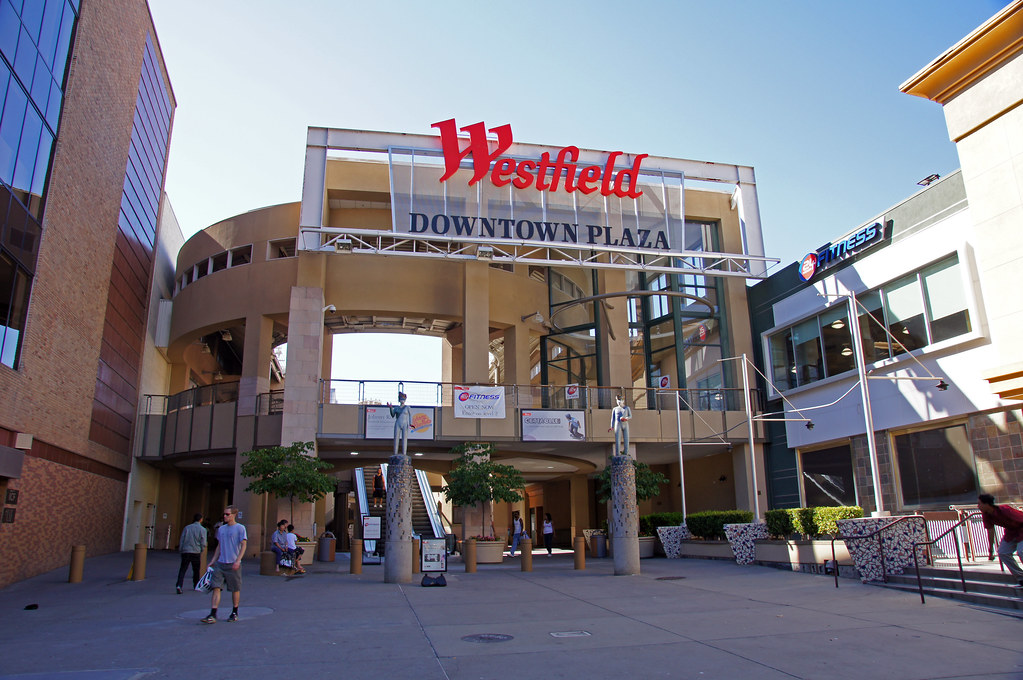 Downtown PlazaSacramento, CA · 2017Redeveloped · Redevelopment: arena, retail, hotel, restored streetsIndian Hill MallPomona, CA · 1995Reinhabited · Reinhabitation: education and officeLa Mirada MallLa Mirada, CA · 1990Redeveloped · Redevelopment: retail, entertainment and residentialLong Beach PlazaLong Beach, CA · 2017Redeveloped · Reinhabited · Redevelopment: retail, entertainment, restored street grid Partial…
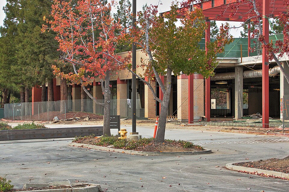 Mayfield MallMountain View, CA · 2013Reinhabited · Reinhabitation: office